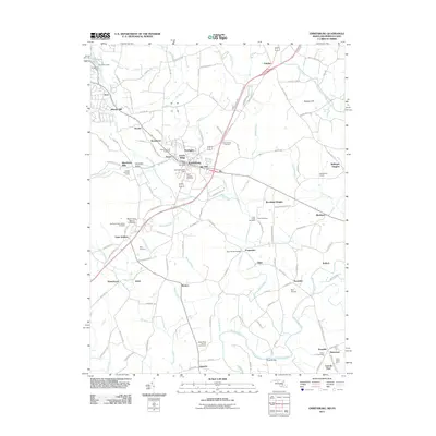
2011 Map of Emmitsburg
USGS Topo · Published 2011About this map
Emmitsburg serves as the focal point of this Frederick County survey, where the Maryland and Pennsylvania border cuts through the northern landscape. The town’s historical and educational legacy is anchored by Mount Saint Mary's University and several legacy burial sites including Saint Josephs Cemetery and the Old Mount Saint Marys Cemetery. Outside the main settlement, the area is defined by a dense network of country roads such as Old Emmitsburg Rd and Old Frederick Rd, connecting small communities like Saint Anthony, Motters, and Zora. Waterways like Toms Creek and the Monocacy River dominate the drainage pattern, with the Four Points Bridge crossing the former. The map documents a blend of academic grounds, rural hamlets, and specialized sites like Bell Airport and Shanks Mill, providing a detailed view of the region's mid-valley infrastructure.
Find a feature on this map
127 named features on this map. Tap any name to fly to it.
Don’t see what you’re looking for? This feature index may not catch every label — zoom into the map to look around manually.
Map Details
Editions of this 2011 Emmitsburg Map
This is the sole edition of this map. No revisions or reprints were ever made.
Other maps of this area

1908 · Gettysburg
USGS Topo · 1:62,500

1909 · Fairfield
USGS Topo · 1:62,500

1911 · Taneytown
USGS Topo · 1:62,500

1911 · Emmitsburg
USGS Topo · 1:62,500

1942 · Gettysburg
USGS Topo · 1:125,000

1943 · Emmitsburg
USGS Topo · 1:62,500

1944 · Union Bridge
USGS Topo · 1:31,680
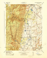
1944 · Catoctin Furnace
USGS Topo · 1:31,680

1944 · Gettysburg
USGS Topo · 1:31,680
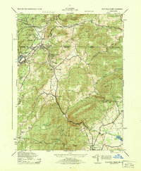
1944 · Blue Ridge Summit
USGS Topo · 1:31,680