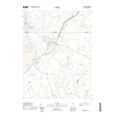
2019 Map of Emmitsburg
USGS Topo · Published 2019About this map
Emmitsburg stands at the crossroads of Northern Maryland and Southern Pennsylvania, where the Taneytown Pike meets historic routes like N Seton Ave. This modern topographic study reveals a landscape heavily defined by its spiritual and educational heritage, anchored by settlements like Saint Anthony and numerous burial grounds including Old Mount Saint Marys Cem and Saint Josephs Cem. The terrain transitions from the elevations of College Mtn in the west down toward the Monocacy River basin. The map captures a high density of rural infrastructure, from the Four Points Bridge spanning Toms Creek to the small airfields of Catoctin Crosswind Airport and Bell Airport. Between the named runs and creeks like Flat Run and Saint Mary Run, the survey meticulously details a network of family-named roads and outlying communities such as Motters and Keysville.
Find a feature on this map
121 named features on this map. Tap any name to fly to it.
Don’t see what you’re looking for? This feature index may not catch every label — zoom into the map to look around manually.
Map Details
Editions of this 2019 Emmitsburg Map
This is the sole edition of this map. No revisions or reprints were ever made.
Other maps of this area

1908 · Gettysburg
USGS Topo · 1:62,500

1909 · Fairfield
USGS Topo · 1:62,500

1911 · Taneytown
USGS Topo · 1:62,500

1911 · Emmitsburg
USGS Topo · 1:62,500

1942 · Gettysburg
USGS Topo · 1:125,000

1943 · Emmitsburg
USGS Topo · 1:62,500

1944 · Union Bridge
USGS Topo · 1:31,680
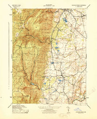
1944 · Catoctin Furnace
USGS Topo · 1:31,680

1944 · Gettysburg
USGS Topo · 1:31,680
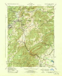
1944 · Blue Ridge Summit
USGS Topo · 1:31,680