2023 Map of Emmitsburg
USGS Topo · Published 2023About this map
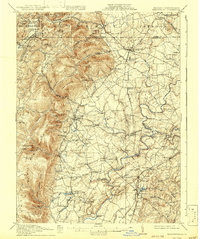
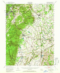
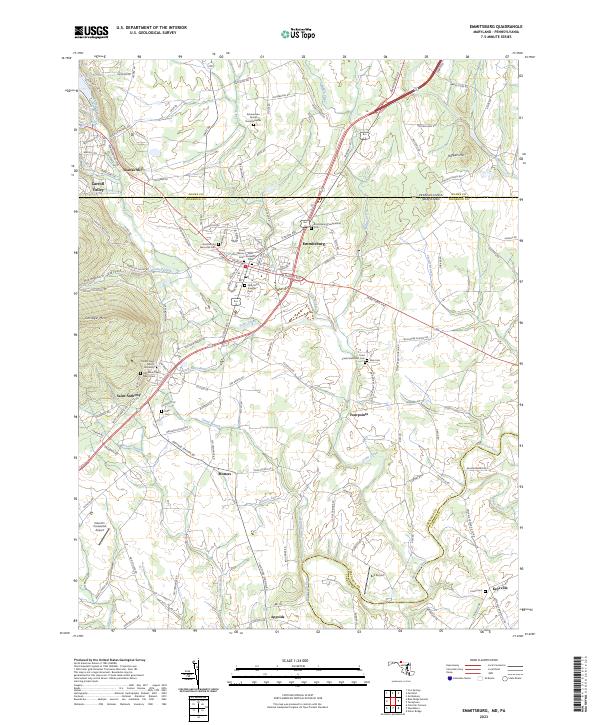
Emmitsburg serves as the focal point of this Frederick County landscape, where the Maryland and Pennsylvania border is marked by the Pennsylvania Maryland line. The area is defined by a dense concentration of religious and educational institutions, including the sprawling campus of Mount Saint Mary's University and numerous denominational burial grounds such as Saint Josephs Cem and Elias Lutheran Cem. The terrain transitions from the heights of College Mtn in the west down toward the Monocacy River and Toms Creek drainage basins. Further exploration reveals rural crossroads like Saint Anthony, Fourpoints, and Motters, alongside family-named landmarks like the Zimmerman Family Burial Grounds. Aviation history is present through local facilities like Catoctin Crosswind Airport and Bell Airport, while the legacy of early milling remains at Shanks Mill along the northern reaches of Friends Creek.
Find a feature on this map
141 named features on this map. Tap any name to fly to it.
Don’t see what you’re looking for? This feature index may not catch every label — zoom into the map to look around manually.
Map Details
Editions of this 2023 Emmitsburg Map
This is the sole edition of this map. No revisions or reprints were ever made.
Historical Maps of Mozinger Through Time
6 maps found