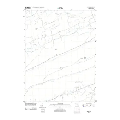
2010 Map of Enders
USGS Topo · Published 2010About this map
Peters Mountain and Third Mountain dominate this landscape in central Pennsylvania, creating a series of parallel ridges and valleys that define local movement and settlement. Between these heights, Clark Creek and Stony Creek flow through largely undeveloped corridors, while the northern valley near Dividing Ridge shows a more established pattern of rural life. Here, the Union Church and Union Church Cemetery serve as local landmarks alongside Gusler Airport.
Find a feature on this map
46 named features on this map. Tap any name to fly to it.
Don’t see what you’re looking for? This feature index may not catch every label — zoom into the map to look around manually.
Map Details
Editions of this 2010 Enders Map
This is the sole edition of this map. No revisions or reprints were ever made.
Other maps of this area

1892 · Lykens
USGS Topo · 1:62,500

1892 · Hummelstown
USGS Topo · 1:62,500

1892 · Harrisburg
USGS Topo · 1:62,500

1893 · Lykens
USGS Topo · 1:62,500

1893 · Millersburg
USGS Topo · 1:62,500

1899 · Harrisburg
USGS Topo · 1:62,500

1924 · Hummelstown
USGS Topo · 1:62,500

1924 · Harrisburg
USGS Topo · 1:62,500

1943 · Millersburg
USGS Topo · 1:62,500

1943 · Lykens
USGS Topo · 1:62,500
Featured Places
- Ellendale Forge, Middle Paxton Township
- Ritzie Village, West Hanover Township
- Enterline, Wayne Township
- Wayne Township, PA
- West Hanover Township, PA