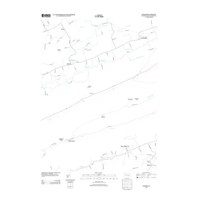
2013 Map of Enders
USGS Topo · Published 2013About this map
Ellendale Forge and White Spring anchor the southern reaches of this Dauphin County landscape, where the ridges of the Appalachian Mountains dictate the path of settlement and transport. The terrain is defined by parallel corridors, with Peters Mountain and Third Mountain separating the valleys of Clark Cr and Stony Cr. These steep, wooded ridges remain largely undeveloped, hosting landmarks like the Stony Mountain Lookout Tower and the boulder-strewn Devils Race Course.
Find a feature on this map
85 named features on this map. Tap any name to fly to it.
Don’t see what you’re looking for? This feature index may not catch every label — zoom into the map to look around manually.
Map Details
Editions of this 2013 Enders Map
This is the sole edition of this map. No revisions or reprints were ever made.
Other maps of this area

1892 · Lykens
USGS Topo · 1:62,500

1892 · Hummelstown
USGS Topo · 1:62,500

1892 · Harrisburg
USGS Topo · 1:62,500

1893 · Lykens
USGS Topo · 1:62,500

1893 · Millersburg
USGS Topo · 1:62,500

1899 · Harrisburg
USGS Topo · 1:62,500

1924 · Hummelstown
USGS Topo · 1:62,500

1924 · Harrisburg
USGS Topo · 1:62,500

1943 · Millersburg
USGS Topo · 1:62,500

1943 · Lykens
USGS Topo · 1:62,500
Featured Places
- Ellendale Forge, Middle Paxton Township
- Ritzie Village, West Hanover Township
- Enterline, Wayne Township
- Wayne Township, PA
- West Hanover Township, PA