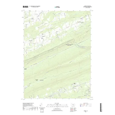
2019 Map of Enders
USGS Topo · Published 2019About this map
Victoria Furnace and Ellendale Forge stand as markers of the area's industrial past, situated along the southern foothills of the ridge and valley landscape. The settlement patterns follow the drainages of Stony Cr and Clark Cr, where local roads like Ellendale Rd connect small communities and family landmarks. This 2019 survey captures a complex network of genealogical sites, including the Philip Christian Enders Memorial Cem near the town of Enders and the Old Mount Laurel Cem further south. The Appalachian National Scenic Trail traverses the central ridges, crossing high above the unique geological feature known as the Devils Race Course. Small aviation facilities like Gusler Airport and Carsonville Airport are interspersed among traditional farmsteads and rural crossroads such as Enterline and Carsonville.
Find a feature on this map
95 named features on this map. Tap any name to fly to it.
Don’t see what you’re looking for? This feature index may not catch every label — zoom into the map to look around manually.
Map Details
Editions of this 2019 Enders Map
This is the sole edition of this map. No revisions or reprints were ever made.
Other maps of this area

1892 · Lykens
USGS Topo · 1:62,500

1892 · Hummelstown
USGS Topo · 1:62,500

1892 · Harrisburg
USGS Topo · 1:62,500

1893 · Lykens
USGS Topo · 1:62,500

1893 · Millersburg
USGS Topo · 1:62,500

1899 · Harrisburg
USGS Topo · 1:62,500

1924 · Hummelstown
USGS Topo · 1:62,500

1924 · Harrisburg
USGS Topo · 1:62,500

1943 · Millersburg
USGS Topo · 1:62,500

1943 · Lykens
USGS Topo · 1:62,500
Featured Places
- Ellendale Forge, Middle Paxton Township
- Ritzie Village, West Hanover Township
- Enterline, Wayne Township
- Wayne Township, PA
- West Hanover Township, PA