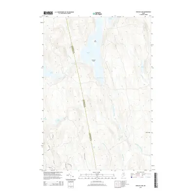
2014 Map of Endless Lake
USGS Topo · Published 2014About this map
Endless Lake serves as the central focal point of this northern Maine interior, situated along the county boundary between Piscataquis and Penobscot counties. The landscape is dominated by a complex network of glacial water bodies and wetlands, including Seboeis Lake to the west and smaller basins like Turtle Pond and Lard Pond. Within the larger lakes, landforms such as Big Island and Blueberry Island rise above the waterline, while the shores are marked by local landmarks like Deadman Cove.
Find a feature on this map
26 named features on this map. Tap any name to fly to it.
Don’t see what you’re looking for? This feature index may not catch every label — zoom into the map to look around manually.
Map Details
Editions of this 2014 Endless Lake Map
This is the sole edition of this map. No revisions or reprints were ever made.
Other maps of this area

1942 · Lincoln
USGS Topo · 1:62,500

1947 · Schoodic
USGS Topo · 1:62,500

1949 · Schoodic
USGS Topo · 1:62,500

1951 · Norcross
USGS Topo · 1:62,500

1951 · Millinocket
USGS Topo · 1:62,500

1954 · Millinocket
USGS Topo · 1:250,000

1957 · Lincoln
USGS Topo · 1:62,500

1958 · Millinocket
USGS Topo · 1:250,000

1960 · Millinocket
USGS Topo · 1:250,000

1975 · Millinocket SW
USGS Topo · 1:24,000
Featured Places
- Lake View Plantation, ME
- Seboeis Plantation, ME
- T4 R9 NWP, ME
- Cedar Lake Township, ME
- Penobscot County, ME