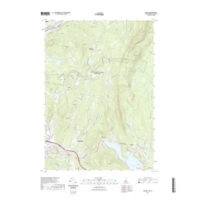
2021 Map of Enfield
USGS Topo · Published 2021About this map
Lebanon and its surrounding hill country serve as the anchor for this recent survey of the Upper Valley, where the Connecticut River marks the border between New Hampshire and Vermont. The landscape is defined by its dramatic elevation changes, from the steep slopes of Moose Mtn and Mt Tug to the water-level developments around Mascoma Lake. The Appalachian National Scenic Trail winds through the high ground, crossing several peaks and connecting the more secluded settlements of Hanover Center and Etna.
Find a feature on this map
123 named features on this map. Tap any name to fly to it.
Don’t see what you’re looking for? This feature index may not catch every label — zoom into the map to look around manually.
Map Details
Editions of this 2021 Enfield Map
This is the sole edition of this map. No revisions or reprints were ever made.
Other maps of this area

1896 · Strafford
USGS Topo · 1:62,500

1906 · Hanover
USGS Topo · 1:62,500

1908 · Hanover
USGS Topo · 1:62,500

1927 · Mascoma
USGS Topo · 1:62,500

1931 · Mt. Cube
USGS Topo · 1:62,500

1932 · Mascoma
USGS Topo · 1:62,500

1933 · Mt. Cube
USGS Topo · 1:62,500

1944 · Strafford
USGS Topo · 1:62,500

1950 · Glens Falls
USGS Topo · 1:250,000

1956 · Glens Falls
USGS Topo · 1:250,000