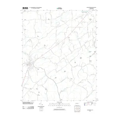
2010 Map of Englewood
USGS Topo · Published 2010About this map
The town of Englewood serves as the primary hub for this portion of Monroe County, where the landscape is defined by a dense network of family-named hollows and knobs. To the northeast, the City of Madisonville Dam and Estes Kefauver Lake Dam regulate Madisonville Lake, while the surrounding countryside is dotted with small family burial grounds and community landmarks. Genealogists will find a wealth of specific sites including Isbell Cemetery, Saint Marys Cemetery, and Mars Hill Cemetery.
Find a feature on this map
81 named features on this map. Tap any name to fly to it.
Don’t see what you’re looking for? This feature index may not catch every label — zoom into the map to look around manually.
Map Details
Editions of this 2010 Englewood Map
This is the sole edition of this map. No revisions or reprints were ever made.
Other maps of this area

1886 · Cleveland
USGS Topo · 1:125,000

1887 · Kingston
USGS Topo · 1:125,000

1891 · Kingston
USGS Topo · 1:125,000

1892 · Cleveland
USGS Topo · 1:125,000

1893 · Murphy
USGS Topo · 1:125,000

1893 · Kingston
USGS Topo · 1:125,000

1895 · Cleveland
USGS Topo · 1:125,000

1895 · Loudon
USGS Topo · 1:125,000

1901 · Cleveland
USGS Topo · 1:125,000

1914 · Murphy
USGS Topo · 1:125,000