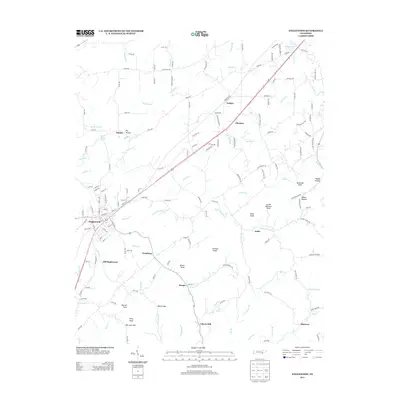
2013 Map of Englewood
USGS Topo · Published 2013About this map
Englewood serves as the central hub of this Monroe County landscape, situated along the banks of Chestuee Cr. The settlement pattern follows the local drainage and topography, with Old Englewood located just south of the primary town site and smaller communities like Nonaburg and Arden scattered across the valley floor. To the north, the terrain is marked by Dry Hollow and the flow of Middle Cr, while the eastern portion of the map is defined by a series of prominent rises including McDaniel Knob, Rider Knob, and Johnson Knob.
Find a feature on this map
161 named features on this map. Tap any name to fly to it.
Don’t see what you’re looking for? This feature index may not catch every label — zoom into the map to look around manually.
Map Details
Editions of this 2013 Englewood Map
This is the sole edition of this map. No revisions or reprints were ever made.
Other maps of this area

1886 · Cleveland
USGS Topo · 1:125,000

1887 · Kingston
USGS Topo · 1:125,000

1891 · Kingston
USGS Topo · 1:125,000

1892 · Cleveland
USGS Topo · 1:125,000

1893 · Murphy
USGS Topo · 1:125,000

1893 · Kingston
USGS Topo · 1:125,000

1895 · Cleveland
USGS Topo · 1:125,000

1895 · Loudon
USGS Topo · 1:125,000

1901 · Cleveland
USGS Topo · 1:125,000

1914 · Murphy
USGS Topo · 1:125,000