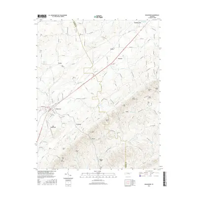
2016 Map of Englewood
USGS Topo · Published 2016About this map
Englewood and Madisonville anchor this survey of the Tennessee landscape where McMinn and Monroe counties meet. The region is defined by a dense network of rural settlements like Gudger, Nonaburg, and Liberty Hill, many of which grew around early transportation routes like the Old Federal Rd. The terrain is characterized by a series of prominent knobs and gaps, including Kelly Knob and Martin Gap, which separate the agricultural valleys from the more heavily timbered ridges.
Find a feature on this map
141 named features on this map. Tap any name to fly to it.
Don’t see what you’re looking for? This feature index may not catch every label — zoom into the map to look around manually.
Map Details
Editions of this 2016 Englewood Map
This is the sole edition of this map. No revisions or reprints were ever made.
Other maps of this area

1886 · Cleveland
USGS Topo · 1:125,000

1887 · Kingston
USGS Topo · 1:125,000

1891 · Kingston
USGS Topo · 1:125,000

1892 · Cleveland
USGS Topo · 1:125,000

1893 · Murphy
USGS Topo · 1:125,000

1893 · Kingston
USGS Topo · 1:125,000

1895 · Cleveland
USGS Topo · 1:125,000

1895 · Loudon
USGS Topo · 1:125,000

1901 · Cleveland
USGS Topo · 1:125,000

1914 · Murphy
USGS Topo · 1:125,000