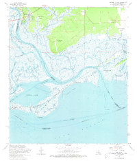
1968 Map of English Lookout
USGS Topo · Published 1973About this map
Pearl River and its intricate distributaries dominate this coastal landscape at the border of Louisiana and Mississippi. The area is defined by the heavy footprint of the Louisville and Nashville Railroad crossing the wetlands, with the settlement of English Lookout positioned near the river's edge. To the south, an Old Railroad Grade remains visible, tracing a line through the marshes toward North Side and Long Point on the shores of Little Lake.
Find a feature on this map
57 named features on this map. Tap any name to fly to it.
Don’t see what you’re looking for? This feature index may not catch every label — zoom into the map to look around manually.
Map Details
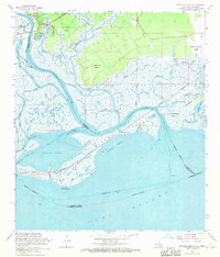
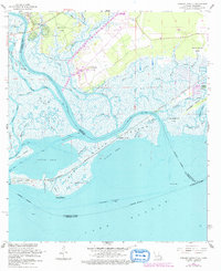
Editions of this 1968 English Lookout Map
3 editions found
Other maps of this area

1893 · Rigolets
USGS Topo · 1:62,500

1893 · Toulme
USGS Topo · 1:62,500

1914 · Nicholson
USGS Topo · 1:62,500

1921 · Nicholson
USGS Topo · 1:62,500

1935 · English Lookout
USGS Topo · 1:31,680

1935 · Grand Island Pass
USGS Topo · 1:31,680

1936 · Rigolets
USGS Topo · 1:62,500

1946 · Malheureux Point
USGS Topo · 1:31,680
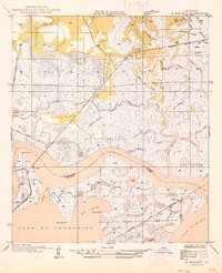
1946 · Rigolets
USGS Topo · 1:31,680

1949 · Grand Island Pass
USGS Topo · 1:31,680