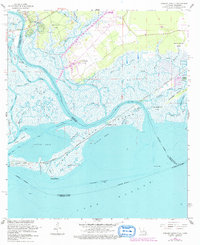
1968 Map of English Lookout
USGS Topo · Published 1978About this map
Pearlington and the surrounding marshlands of the Mississippi-Louisiana border define this coastal landscape during the late 1960s. The Pearl River snakes toward Lake Borgne, creating a complex network of waterways including Mulatto Bayou and Polecat Bend. This era shows the active Louisville and Nashville railroad corridor crossing the delta, while an Old Railroad Grade near North Side marks a previous era's transport route. Land ownership is noted through large historical tracts like the John B Doby Claim and Nancy Collins Claim, which persist alongside newer features like the Sewage Disposal plant. The presence of the Pearl River Light and the namesake English Lookout highlight the area's long-standing importance for coastal navigation and border observation between St. Tammany and Hancock counties.
Find a feature on this map
54 named features on this map. Tap any name to fly to it.
Don’t see what you’re looking for? This feature index may not catch every label — zoom into the map to look around manually.
Map Details
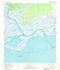
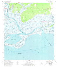
Editions of this 1968 English Lookout Map
3 editions found
Other maps of this area

1893 · Rigolets
USGS Topo · 1:62,500

1893 · Toulme
USGS Topo · 1:62,500

1914 · Nicholson
USGS Topo · 1:62,500

1921 · Nicholson
USGS Topo · 1:62,500

1935 · English Lookout
USGS Topo · 1:31,680

1935 · Grand Island Pass
USGS Topo · 1:31,680

1936 · Rigolets
USGS Topo · 1:62,500

1946 · Malheureux Point
USGS Topo · 1:31,680
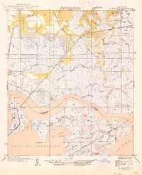
1946 · Rigolets
USGS Topo · 1:31,680

1949 · Grand Island Pass
USGS Topo · 1:31,680