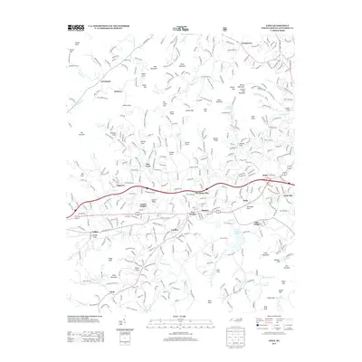
2013 Map of Enka
USGS Topo · Published 2013About this map
Enka and Enka Village anchor this Buncombe County landscape, where industrial development and residential growth are tightly interwoven with the surrounding Blue Ridge terrain. The map records the suburban character of Candler and Hominy during a period of modern expansion, while still preserving older place names like Jugtown and Owltown that hint at earlier local history. The importance of local water resources is evident in the presence of Enka Lake and the winding course of Hominy Cr, which has historically shaped the valley's settlement patterns. This topographic study reveals a complex network of ridgeline roads and valley floor development, from the peaks of Spivey Mountain and Deaver View Mountain down to the established community centers. Long-standing local institutions, such as Snow Hill Church and Hominy Baptist Church, remain central landmarks within these evolving neighborhoods.
Find a feature on this map
85 named features on this map. Tap any name to fly to it.
Don’t see what you’re looking for? This feature index may not catch every label — zoom into the map to look around manually.
Map Details
Editions of this 2013 Enka Map
This is the sole edition of this map. No revisions or reprints were ever made.
Other maps of this area

1894 · Asheville
USGS Topo · 1:125,000

1901 · Asheville
USGS Topo · 1:125,000

1905 · Pisgah
USGS Topo · 1:125,000

1906 · Pisgah
USGS Topo · 1:125,000

1935 · Cruso
USGS Topo · 1:24,000

1935 · Canton
USGS Topo · 1:24,000

1936 · Sandymush
USGS Topo · 1:24,000

1936 · Enka
USGS Topo · 1:24,000

1936 · Weaverville
USGS Topo · 1:24,000

1936 · Skyland
USGS Topo · 1:24,000