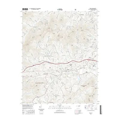
2016 Map of Enka
USGS Topo · Published 2016About this map
Enka and the surrounding Candler valley are defined by the convergence of industrial development and deep mountain topography in this mid-2010s survey. The landscape is anchored by the Enka Village area and the waters of Enka Lake, which reflect the region's legacy of manufacturing near the banks of Hominy Creek. This corridor serves as a busy transit point, where the modern path of Interstate 40 cuts through older settlements like Jugtown, Acton, and Luther.
Find a feature on this map
95 named features on this map. Tap any name to fly to it.
Don’t see what you’re looking for? This feature index may not catch every label — zoom into the map to look around manually.
Map Details
Editions of this 2016 Enka Map
This is the sole edition of this map. No revisions or reprints were ever made.
Other maps of this area

1894 · Asheville
USGS Topo · 1:125,000

1901 · Asheville
USGS Topo · 1:125,000

1905 · Pisgah
USGS Topo · 1:125,000

1906 · Pisgah
USGS Topo · 1:125,000

1935 · Cruso
USGS Topo · 1:24,000

1935 · Canton
USGS Topo · 1:24,000

1936 · Sandymush
USGS Topo · 1:24,000

1936 · Enka
USGS Topo · 1:24,000

1936 · Weaverville
USGS Topo · 1:24,000

1936 · Skyland
USGS Topo · 1:24,000