2015 Map of Enterprise
USGS Topo · Published 2015About this map
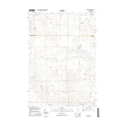
Enterprise anchors this 2015 survey of the lake-strewn landscape along the border of Oneida Co and Langlade Co. The terrain is defined by a dense concentration of glacial water bodies, including the sizeable Enterprise Lake and Moccasin Lake, which feed the southern-flowing Prairie River. This map traces a significant portion of the Ice Age National Scenic Trail as it winds through the southern half of the quadrangle, crossing paths with local routes like Five Cent Rd and W Elcho Rd. These roads provide access to numerous smaller water features such as Bog Lake, Perch Lake, and Pine Lake. Further north, Shingle Mill Lake and Bass Lake highlight the upper reaches of the watershed. The map records a modern look at this transition zone where the traditional timber and recreation economy is reflected in labels like Lily Mill Fl and the numerous lakeside forest roads.
Find a feature on this map
45 named features on this map. Tap any name to fly to it.
Don’t see what you’re looking for? This feature index may not catch every label — zoom into the map to look around manually.
Map Details
Editions of this 2015 Enterprise Map
This is the sole edition of this map. No revisions or reprints were ever made.
Other maps of this area

1940 · Parrish
USGS Topo · 1:48,000

1940 · Monico
USGS Topo · 1:48,000

1940 · Rhinelander
USGS Topo · 1:48,000

1942 · Elcho
USGS Topo · 1:48,000

1949 · Rhinelander
USGS Topo · 1:48,000

1950 · Monico
USGS Topo · 1:48,000

1950 · Elcho
USGS Topo · 1:48,000

1950 · Parrish
USGS Topo · 1:48,000

1952 · Parrish
USGS Topo · 1:48,000

1954 · Iron Mountain
USGS Topo · 1:250,000