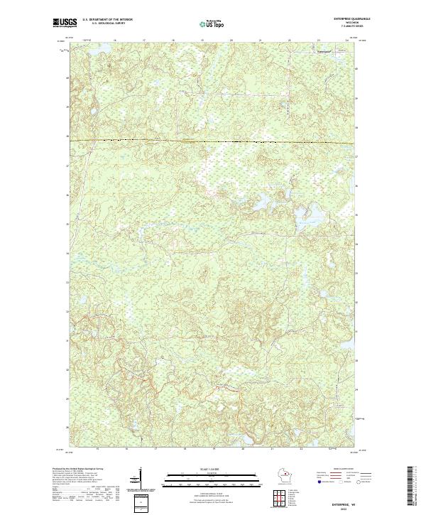
2022 Map of Enterprise
USGS Topo · Published 2022About this map
The Oneida Co Langlade Co line divides this glaciated landscape where the small settlement of Enterprise sits in the northeast corner. This 2022 survey details a region defined by its complex hydrology, featuring numerous kettle lakes such as Moccasin Lake, West Apple Lake, and East Apple Lake. The headwaters of the Prairie River and Enterprise Cr wind through the township lines of t34n r10e and t35n r10e, highlighting the wet, marshy terrain that characterizes much of this northwoods area.
Find a feature on this map
35 named features on this map. Tap any name to fly to it.
Don’t see what you’re looking for? This feature index may not catch every label — zoom into the map to look around manually.
Map Details
Editions of this 2022 Enterprise Map
This is the sole edition of this map. No revisions or reprints were ever made.
Other maps of this area

1940 · Parrish
USGS Topo · 1:48,000

1940 · Monico
USGS Topo · 1:48,000

1940 · Rhinelander
USGS Topo · 1:48,000

1942 · Elcho
USGS Topo · 1:48,000

1949 · Rhinelander
USGS Topo · 1:48,000

1950 · Monico
USGS Topo · 1:48,000

1950 · Elcho
USGS Topo · 1:48,000

1950 · Parrish
USGS Topo · 1:48,000

1952 · Parrish
USGS Topo · 1:48,000

1954 · Iron Mountain
USGS Topo · 1:250,000