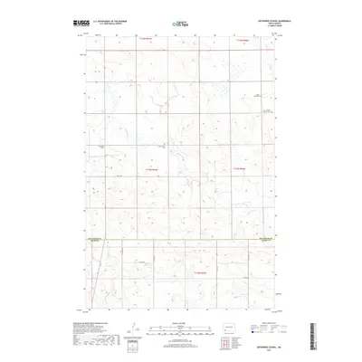
2017 Map of Enterprise School
USGS Topo · Published 2017About this map
The Enterprise School and a collection of rural burial grounds define this landscape where the borders of Hettinger and Adams Counties meet. This survey provides a modern topographical view of a region rooted in small-town infrastructure and prairie agriculture. Settled burial sites like Saint Helena Cem, Tepee Butte Cem, and Peace Lutheran Cem are scattered across the high ground, serving as anchors for local genealogy research. The terrain is marked by distinctive landmarks such as Tepee Butte, while the hydrology is dominated by the winding paths of Chanta Peta Cr and Cedar Cr, which cut through the township sections. These watercourses and the presence of Russian Slough indicate a drainage pattern that has historically shaped the placement of roads like 76th St SW and the rural farmsteads of the Dakota plains.
Find a feature on this map
16 named features on this map. Tap any name to fly to it.
Don’t see what you’re looking for? This feature index may not catch every label — zoom into the map to look around manually.
Map Details
Editions of this 2017 Enterprise School Map
This is the sole edition of this map. No revisions or reprints were ever made.
Other maps of this area
1953 · Dickinson
USGS Topo · 1:250,000
1957 · Dickinson
USGS Topo · 1:250,000
1973 · Liens Dams
USGS Topo · 1:24,000
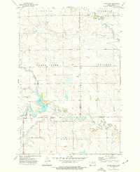
1973 · Cedar Lake
USGS Topo · 1:24,000
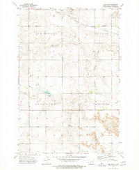
1973 · Jung Lake
USGS Topo · 1:24,000
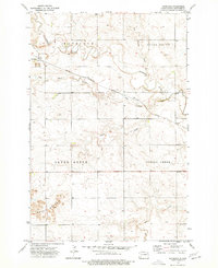
1973 · Havelock
USGS Topo · 1:24,000
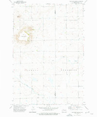
1973 · East Rainy Butte
USGS Topo · 1:24,000
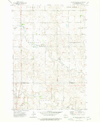
1973 · Enterprise School
USGS Topo · 1:24,000
1980 · Mott
USGS Topo · 1:100,000
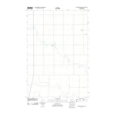
2011 · Enterprise School
USGS Topo · 1:24,000