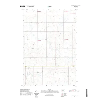
2020 Map of Enterprise School
USGS Topo · Published 2020About this map
Enterprise School stands as a focal point in this portion of Hettinger County, where the plains are defined by the winding course of Chanta Peta Creek and its southern tributaries. The landscape preserves the rural layout of the northern plains, marked by a scattering of sacred sites including Saint Helena Cem, Tepee Butte Cem, and Peace Lutheran Cem. These cemeteries, often associated with early settlement families and community congregations, provide vital touchstones for genealogical research in this sparsely populated region. To the south, the terrain descends toward the drainage of Cedar Cr and the marshy expanse of Russian Slough near the boundary with Adams County. The map captures the enduring section-line road network, such as 76th St SW, which has dictated the movement of agricultural life for generations.
Find a feature on this map
16 named features on this map. Tap any name to fly to it.
Don’t see what you’re looking for? This feature index may not catch every label — zoom into the map to look around manually.
Map Details
Editions of this 2020 Enterprise School Map
This is the sole edition of this map. No revisions or reprints were ever made.
Other maps of this area

1953 · Dickinson
USGS Topo · 1:250,000

1957 · Dickinson
USGS Topo · 1:250,000

1973 · Liens Dams
USGS Topo · 1:24,000

1973 · Cedar Lake
USGS Topo · 1:24,000

1973 · Jung Lake
USGS Topo · 1:24,000

1973 · Havelock
USGS Topo · 1:24,000

1973 · East Rainy Butte
USGS Topo · 1:24,000

1973 · Enterprise School
USGS Topo · 1:24,000

1980 · Mott
USGS Topo · 1:100,000
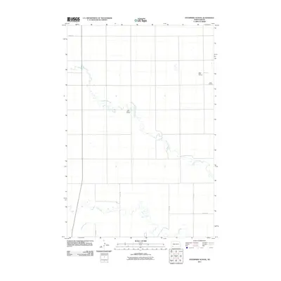
2011 · Enterprise School
USGS Topo · 1:24,000