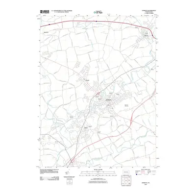
2010 Map of Ephrata
USGS Topo · Published 2010About this map
The Ephrata area of Lancaster County is anchored by the historic Ephrata Cloister, which stands as a central landmark near the banks of Cocalico Creek. This landscape is defined by its collection of older settlements, including Akron, Denver, and Lincoln, all connected by a dense network of local roads such as Durlach Rd and Indiantown Rd. The terrain rises to the east at Ephrata Mountain, while the southern portion of the quadrangle is marked by the course of the Conestoga River.
Find a feature on this map
109 named features on this map. Tap any name to fly to it.
Don’t see what you’re looking for? This feature index may not catch every label — zoom into the map to look around manually.
Map Details
Editions of this 2010 Ephrata Map
This is the sole edition of this map. No revisions or reprints were ever made.
Other maps of this area

1891 · Lebanon
USGS Topo · 1:62,500

1893 · Lebanon
USGS Topo · 1:62,500

1899 · Lebanon
USGS Topo · 1:62,500

1902 · Wernersville
USGS Topo · 1:62,500

1902 · Lancaster
USGS Topo · 1:62,500

1904 · Lancaster
USGS Topo · 1:62,500

1906 · New Holland
USGS Topo · 1:62,500

1908 · New Holland
USGS Topo · 1:62,500

1941 · New Holland
USGS Topo · 1:62,500

1943 · Lancaster
USGS Topo · 1:62,500