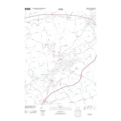
2013 Map of Ephrata
USGS Topo · Published 2013About this map
The Ephrata Cloister stands as a central historical landmark in this part of Lancaster County, anchoring a landscape where colonial-era heritage meets modern development. The terrain is defined by the prominent ridge of Ephrata Mountain and the winding course of Cocalico Cr, which passes through the borough and connects various smaller settlements. To the north, the community of Denver sits near the confluence of Little Cocalico Cr, while the southern reaches are marked by the broader flow of the Conestoga River near Farmersville.
Find a feature on this map
283 named features on this map. Tap any name to fly to it.
Don’t see what you’re looking for? This feature index may not catch every label — zoom into the map to look around manually.
Map Details
Editions of this 2013 Ephrata Map
This is the sole edition of this map. No revisions or reprints were ever made.
Other maps of this area

1891 · Lebanon
USGS Topo · 1:62,500

1893 · Lebanon
USGS Topo · 1:62,500

1899 · Lebanon
USGS Topo · 1:62,500

1902 · Wernersville
USGS Topo · 1:62,500

1902 · Lancaster
USGS Topo · 1:62,500

1904 · Lancaster
USGS Topo · 1:62,500

1906 · New Holland
USGS Topo · 1:62,500

1908 · New Holland
USGS Topo · 1:62,500

1941 · New Holland
USGS Topo · 1:62,500

1943 · Lancaster
USGS Topo · 1:62,500