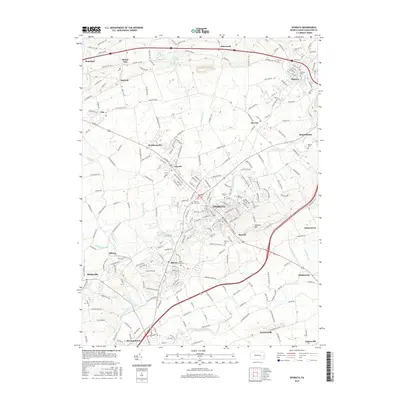
2016 Map of Ephrata
USGS Topo · Published 2016About this map
Ephrata serves as the central hub of this modern survey, surrounded by a network of established boroughs and crossroads settlements including Akron, Denver, and Reamstown. The landscape is defined by the winding course of Cocalico Creek and its many tributaries like Indian Run and Hammer Creek, which historically powered the industry of Lancaster County. The terrain rises to the southeast at Ephrata Mtn, while the southwestern corner is bounded by the Conestoga River near Brownstown. This detailed record captures the dense placement of community landmarks, from Mount Zion Ch to a high concentration of local burying grounds including Bethany Cem and Cedar Hill Cem. The map illustrates the transition from the structured street grids of towns like Schoeneck and Hopeland to the agricultural expanses and wooded ridges that characterize the Pennsylvania Dutch Country.
Find a feature on this map
229 named features on this map. Tap any name to fly to it.
Don’t see what you’re looking for? This feature index may not catch every label — zoom into the map to look around manually.
Map Details
Editions of this 2016 Ephrata Map
This is the sole edition of this map. No revisions or reprints were ever made.
Other maps of this area

1891 · Lebanon
USGS Topo · 1:62,500

1893 · Lebanon
USGS Topo · 1:62,500

1899 · Lebanon
USGS Topo · 1:62,500

1902 · Wernersville
USGS Topo · 1:62,500

1902 · Lancaster
USGS Topo · 1:62,500

1904 · Lancaster
USGS Topo · 1:62,500

1906 · New Holland
USGS Topo · 1:62,500

1908 · New Holland
USGS Topo · 1:62,500

1941 · New Holland
USGS Topo · 1:62,500

1943 · Lancaster
USGS Topo · 1:62,500