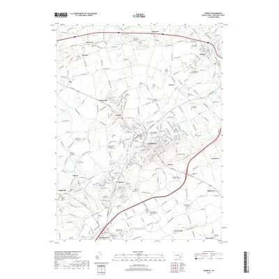
2019 Map of Ephrata
USGS Topo · Published 2019About this map
Ephrata serves as the central hub of this Northern Lancaster County landscape, characterized by its deep-rooted Mennonite heritage and a dense network of small boroughs. The layout of the region reveals a transition from the agricultural plains of the Conestoga River valley in the south toward the wooded elevations of Ephrata Mtn and the furnace hills to the north. Family-named cemeteries and parochial institutions like the Ephrata Cloister Cem, Mellingers Church, and Conestoga Old Order Mennonite Church are scattered across the landscape, marking the persistent cultural and religious geography of the Pennsylvania Dutch country.
Find a feature on this map
261 named features on this map. Tap any name to fly to it.
Don’t see what you’re looking for? This feature index may not catch every label — zoom into the map to look around manually.
Map Details
Editions of this 2019 Ephrata Map
This is the sole edition of this map. No revisions or reprints were ever made.
Other maps of this area

1891 · Lebanon
USGS Topo · 1:62,500

1893 · Lebanon
USGS Topo · 1:62,500

1899 · Lebanon
USGS Topo · 1:62,500

1902 · Wernersville
USGS Topo · 1:62,500

1902 · Lancaster
USGS Topo · 1:62,500

1904 · Lancaster
USGS Topo · 1:62,500

1906 · New Holland
USGS Topo · 1:62,500

1908 · New Holland
USGS Topo · 1:62,500

1941 · New Holland
USGS Topo · 1:62,500

1943 · Lancaster
USGS Topo · 1:62,500