Loading...
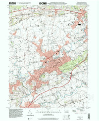
Loading map...1999 Map of Ephrata
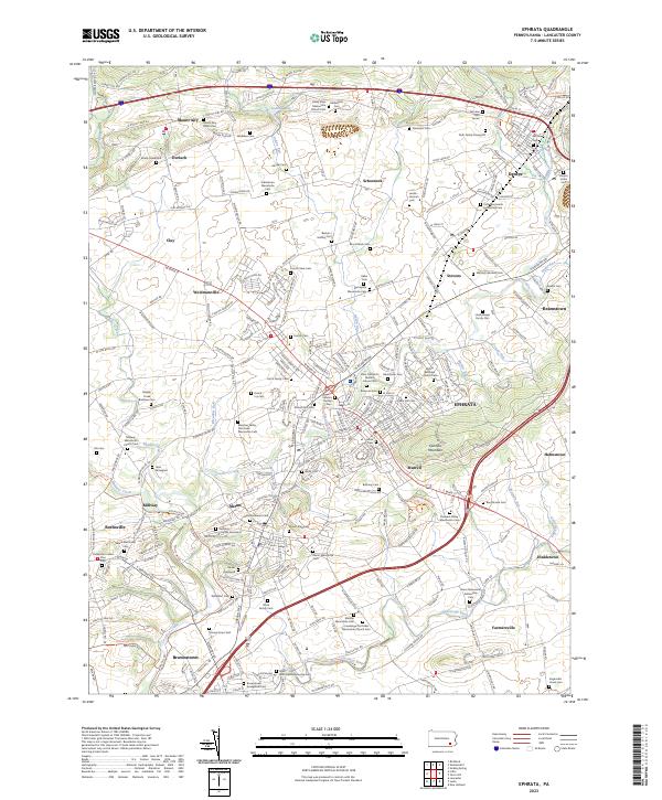
USGS Topo · Published 2001About this map
Ephrata and its surrounding boroughs define the landscape of northern Lancaster County at the close of the twentieth century. The map illustrates a dense network of small settlements and township boundaries including West Cocalico, East Cocalico, and Warwick. The winding path of Cocalico Creek and the Conestoga River dictate the local geography, providing a natural contrast to the engineered route of the Pennsylvania Turnpike cutting across the northern sections.
Find a feature on this map
86 named features on this map. Tap any name to fly to it.
Don’t see what you’re looking for? This feature index may not catch every label — zoom into the map to look around manually.
Map Details
Date Portrayed1999
Date Published2001
PublisherU.S. Geological Survey
Map TypeTopographic
Scale1:24,000
Physical Dimensions22.1 x 27 inches
Editions of this 1999 Ephrata Map
This is the sole edition of this map. No revisions or reprints were ever made.
Historical Maps of Ephrata Through Time
4 maps found
Featured Locations
Source Details
SourceU.S. Geological Survey
CopyrightPublic Domain