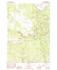
1984 Map of Epping
USGS Topo · Published 1985About this map
Blueberry Barrens and extensive wetland systems define this Downeast landscape in Washington County. The Great Pleasant River and Little River wind through a terrain marked by numerous heaths and bogs, such as Pigeon Hill Heath and Deep Cove Heath. Settlement is concentrated along the river corridors and historical thoroughfares like Pea Ridge Road and Flanders Road, where small communities such as Epping and Little River Corner maintain a quiet presence.
Find a feature on this map
53 named features on this map. Tap any name to fly to it.
Don’t see what you’re looking for? This feature index may not catch every label — zoom into the map to look around manually.
Map Details
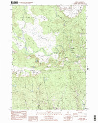
Editions of this 1984 Epping Map
2 editions found
Other maps of this area

1902 · Cherryfield
USGS Topo · 1:62,500

1904 · Cherryfield
USGS Topo · 1:62,500

1921 · Columbia Falls
USGS Topo · 1:62,500

1921 · Columbia Falls
USGS Topo · 1:62,500

1941 · Columbia Falls
USGS Topo · 1:62,500

1941 · Wesley
USGS Topo · 1:62,500

1941 · Tug Mountain
USGS Topo · 1:62,500

1942 · Cherryfield
USGS Topo · 1:62,500

1942 · Columbia Falls
USGS Topo · 1:62,500

1943 · Tug Mountain
USGS Topo · 1:62,500