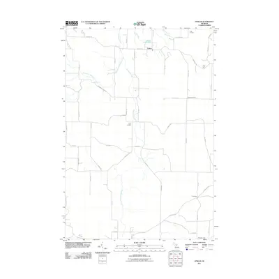
2011 Map of Epsilon
USGS Topo · Published 2011About this map
Minnehaha Creek and its various tributaries define the rural geography of this northern Michigan landscape, where agricultural land meets the wooded rises of Gray Hill and Chandler Hill. The settlement at Epsilon serves as a central point for the local road network, which consists of a grid-like system including Maxwell Rd and Harmon Rd. This 2011 survey documents a quiet residential and farming area characterized by dispersed farmsteads rather than dense urban centers.
Find a feature on this map
49 named features on this map. Tap any name to fly to it.
Don’t see what you’re looking for? This feature index may not catch every label — zoom into the map to look around manually.
Map Details
Editions of this 2011 Epsilon Map
This is the sole edition of this map. No revisions or reprints were ever made.
Other maps of this area

1954 · Gaylord
USGS Topo · 1:62,500

1955 · Cheboygan
USGS Topo · 1:250,000

1957 · Wolverine
USGS Topo · 1:62,500

1958 · Cheboygan
USGS Topo · 1:250,000

1958 · Petoskey
USGS Topo · 1:62,500

1961 · Boyne Falls
USGS Topo · 1:62,500

1975 · Petoskey NW
USGS Topo · 1:24,000

1975 · Petoskey SW
USGS Topo · 1:24,000

1975 · Petoskey NE
USGS Topo · 1:24,000

1982 · Petoskey
USGS Topo · 1:100,000