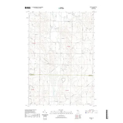
2019 Map of Epsilon
USGS Topo · Published 2019About this map
The small community of Epsilon sits at the intersection of Mitchell Road and Silver Creek Road, serving as a quiet focal point in this portion of northern Michigan. This landscape is defined by its significant relief and water features, including the rise of Gray Hill and Chandler Hill. Local history and genealogy are anchored by sites such as Curtis Cem and Joy Valley Cem, while the conservation efforts of the McCune Nature Preserve protect the headwaters of W Br Minnehaha Cr. The map reveals a network of rural roads and seasonal trails, such as Seasonal Rd and Sheaffers Xing, that traverse the border between Emmet and Charlevoix counties. Notable hydrology like Silver Cr Pond and Shatto Spring indicates the area's rich water resources, which include the winding N Br Spring Brook flowing through the southern townships.
Find a feature on this map
111 named features on this map. Tap any name to fly to it.
Don’t see what you’re looking for? This feature index may not catch every label — zoom into the map to look around manually.
Map Details
Editions of this 2019 Epsilon Map
This is the sole edition of this map. No revisions or reprints were ever made.
Other maps of this area

1954 · Gaylord
USGS Topo · 1:62,500

1955 · Cheboygan
USGS Topo · 1:250,000

1957 · Wolverine
USGS Topo · 1:62,500

1958 · Cheboygan
USGS Topo · 1:250,000

1958 · Petoskey
USGS Topo · 1:62,500

1961 · Boyne Falls
USGS Topo · 1:62,500

1975 · Petoskey NW
USGS Topo · 1:24,000

1975 · Petoskey SW
USGS Topo · 1:24,000

1975 · Petoskey NE
USGS Topo · 1:24,000

1982 · Petoskey
USGS Topo · 1:100,000