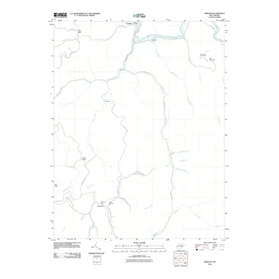
2010 Map of Erbacon
USGS Topo · Published 2010About this map
Centralia and Erbacon anchor this West Virginia landscape, connected by a network of drainage systems including the Elk River and Little Birch River. The map shows a settlement pattern defined by narrow ridges and winding hollows, where communities like Prestonia and Poplar Ridge are linked by backroads such as Centralia Rd and Barker Ridge Rd. This 2010 survey provides critical detail for local historians, documenting civic markers like the Centralia Post Office and Erbacon Post Office.
Find a feature on this map
49 named features on this map. Tap any name to fly to it.
Don’t see what you’re looking for? This feature index may not catch every label — zoom into the map to look around manually.
Map Details
Editions of this 2010 Erbacon Map
This is the sole edition of this map. No revisions or reprints were ever made.
Other maps of this area

1889 · Nicholas
USGS Topo · 1:125,000

1891 · Nicholas
USGS Topo · 1:125,000

1891 · Huntersville
USGS Topo · 1:125,000

1893 · Buckhannon
USGS Topo · 1:125,000

1893 · Sutton
USGS Topo · 1:125,000

1894 · Huntersville
USGS Topo · 1:125,000

1896 · Buckhannon
USGS Topo · 1:125,000

1897 · Buckhannon
USGS Topo · 1:125,000

1901 · Nicholas
USGS Topo · 1:125,000

1908 · Sutton
USGS Topo · 1:48,000