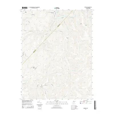
2014 Map of Erbacon
USGS Topo · Published 2014About this map
The Elk River carves through the northern corner of this Braxton and Webster County border region, meeting the southern reaches of Sutton Lake near Centralia. This landscape is defined by its deep drainage networks and high ridges, including Barker Ridge and Poplar Ridge. The settlement patterns follow the winding creek beds and river valleys, with small communities like Prestonia and Camp Run appearing along the hollows. To the south, the village of Erbacon sits at the junction of Missouri Cr and Laurel Creek, serving as a central point for the surrounding uplands.
Find a feature on this map
56 named features on this map. Tap any name to fly to it.
Don’t see what you’re looking for? This feature index may not catch every label — zoom into the map to look around manually.
Map Details
Editions of this 2014 Erbacon Map
This is the sole edition of this map. No revisions or reprints were ever made.
Other maps of this area

1889 · Nicholas
USGS Topo · 1:125,000

1891 · Nicholas
USGS Topo · 1:125,000

1891 · Huntersville
USGS Topo · 1:125,000

1893 · Buckhannon
USGS Topo · 1:125,000

1893 · Sutton
USGS Topo · 1:125,000

1894 · Huntersville
USGS Topo · 1:125,000

1896 · Buckhannon
USGS Topo · 1:125,000

1897 · Buckhannon
USGS Topo · 1:125,000

1901 · Nicholas
USGS Topo · 1:125,000

1908 · Sutton
USGS Topo · 1:48,000