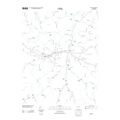
2013 Map of Erin
USGS Topo · Published 2013About this map
Erin serves as the central hub of this Tennessee landscape, where the confluence of several small valleys and streams shaped local development. The town and its neighbors, Arlington and Midway, are situated along the drainage of Wells Cr, which flows northward through a series of named hollows including Tantrough Hollow and Haggieville Hollow. This 2013 survey illustrates a complex network of rural roads such as Old Scott Rd and Industrial Park Rd that connect the industrial site at Dolomite to the surrounding ridge lands.
Find a feature on this map
171 named features on this map. Tap any name to fly to it.
Don’t see what you’re looking for? This feature index may not catch every label — zoom into the map to look around manually.
Map Details
Editions of this 2013 Erin Map
This is the sole edition of this map. No revisions or reprints were ever made.
Other maps of this area

1931 · Erin
USGS Topo · 1:62,500

1936 · Tantrough Hollow
USGS Topo · 1:24,000

1936 · Woolworth
USGS Topo · 1:24,000

1936 · Ruskin
USGS Topo · 1:24,000

1936 · Stewart
USGS Topo · 1:24,000

1936 · Halls Creek
USGS Topo · 1:24,000

1936 · Dover
USGS Topo · 1:24,000

1950 · Halls Creek
USGS Topo · 1:24,000

1950 · Stewart
USGS Topo · 1:24,000

1950 · Dover
USGS Topo · 1:24,000