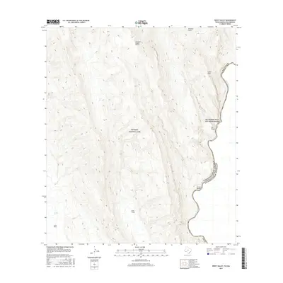
2016 Map of Ernst Valley
USGS Topo · Published 2016About this map
The Rio Grande snakes along the international border in this 2016 survey, forming the eastern edge of Big Bend National Park. This arid landscape is dominated by the steep escarpments of the Sierra del Caballo Muerto and the dramatic relief of Hubert Ridge. The map details a primitive network of roads and drainage patterns, including the prominent Arroyo Venado and the secluded Telephone Canyon. Within the southern section, Ernst Valley and Ernst Basin provide a clear view of the complex topographical features and seasonal water sources like Ernst Tank. This area is further protected as part of the Rio Grande Wild and Scenic River, highlighting its significance for conservation and remote wilderness research.
Find a feature on this map
14 named features on this map. Tap any name to fly to it.
Don’t see what you’re looking for? This feature index may not catch every label — zoom into the map to look around manually.
Map Details
Editions of this 2016 Ernst Valley Map
This is the sole edition of this map. No revisions or reprints were ever made.
Other maps of this area
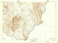
1903 · Chisos Mountains
USGS Topo · 1:125,000
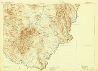
1905 · Chisos Mountains
USGS Topo · 1:125,000
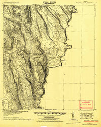
1930 · Stillwell Creek
USGS Topo · 1:62,500
1959 · Emory Peak
USGS Topo · 1:250,000
1965 · Emory Peak
USGS Topo · 1:250,000
1971 · McKinney Springs
USGS Topo · 1:24,000
1971 · Ernst Valley
USGS Topo · 1:24,000
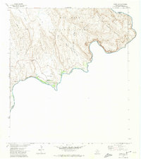
1971 · Boquillas
USGS Topo · 1:24,000
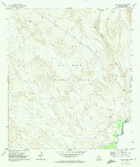
1971 · San Vicente
USGS Topo · 1:24,000
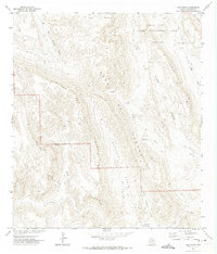
1971 · Sue Peaks
USGS Topo · 1:24,000