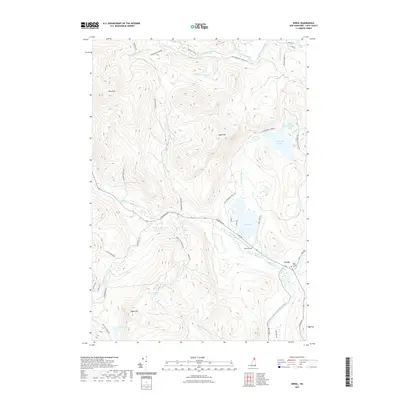
2021 Map of Errol
USGS Topo · Published 2021About this map
The town of Errol serves as a central hub in this corner of Coos County, situated where Clear Stream joins the Androscoggin River. This modern survey highlights the complex relationship between the region's logging heritage and its role as a recreational gateway. A dense network of roads, such as Colebrook Rd and Old Greenough Pond Rd, provides access to numerous interior water bodies including Akers Pond, Greenough Pond, and Signal Pond.
Find a feature on this map
47 named features on this map. Tap any name to fly to it.
Don’t see what you’re looking for? This feature index may not catch every label — zoom into the map to look around manually.
Map Details
Editions of this 2021 Errol Map
This is the sole edition of this map. No revisions or reprints were ever made.
Other maps of this area

1930 · Milan
USGS Topo · 1:62,500

1930 · Percy
USGS Topo · 1:62,500

1930 · Dixville
USGS Topo · 1:62,500

1930 · Errol
USGS Topo · 1:62,500

1933 · Dixville
USGS Topo · 1:62,500

1933 · Milan
USGS Topo · 1:62,500

1934 · Percy
USGS Topo · 1:62,500

1934 · Dixville
USGS Topo · 1:62,500

1934 · Errol
USGS Topo · 1:62,500

1934 · Milan
USGS Topo · 1:62,500