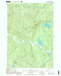
1995 Map of Errol
USGS Topo · Published 1995About this map
Errol serves as the focal point of this northern New Hampshire landscape, situated at the confluence of several vital watercourses during the mid-1990s. The village is positioned where the Androscoggin River flows south, bolstered by the waters of Clear Stream and drainage from Akers Pond. This era of the Coos County backcountry is defined by large land grants and township divisions including Dixville, Dixs Grant, Second College Grant, and Wentworths Location, reflecting a traditional New England pattern of forest management and land use.
Find a feature on this map
31 named features on this map. Tap any name to fly to it.
Don’t see what you’re looking for? This feature index may not catch every label — zoom into the map to look around manually.
Map Details
Editions of this 1995 Errol Map
2 editions found
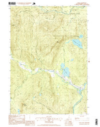
Other maps of this area

1930 · Milan
USGS Topo · 1:62,500

1930 · Percy
USGS Topo · 1:62,500

1930 · Dixville
USGS Topo · 1:62,500

1930 · Errol
USGS Topo · 1:62,500

1933 · Dixville
USGS Topo · 1:62,500

1933 · Milan
USGS Topo · 1:62,500

1934 · Percy
USGS Topo · 1:62,500

1934 · Dixville
USGS Topo · 1:62,500

1934 · Errol
USGS Topo · 1:62,500

1934 · Milan
USGS Topo · 1:62,500