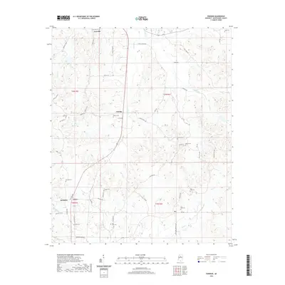
2020 Map of Eskridge
USGS Topo · Published 2020About this map
Duck Hill and the northern outskirts of Winona anchor this topographic view of central Montgomery County, where the landscape transitions through a series of creek valleys and ridges. The rural character of the region is defined by a dense network of family and community landmarks, including numerous small cemeteries such as Saint Johns Cem, Williams Cem, and Pine Grove Cem. These sites, often situated near historic road junctions like Eskridge, provide valuable geographic markers for genealogical research in this part of Mississippi.
Find a feature on this map
51 named features on this map. Tap any name to fly to it.
Don’t see what you’re looking for? This feature index may not catch every label — zoom into the map to look around manually.
Map Details
Editions of this 2020 Eskridge Map
This is the sole edition of this map. No revisions or reprints were ever made.
Other maps of this area

1953 · West Point
USGS Topo · 1:250,000

1954 · Duck Hill
USGS Topo · 1:62,500

1954 · McCarley
USGS Topo · 1:62,500

1958 · West Point
USGS Topo · 1:250,000

1963 · West Point
USGS Topo · 1:250,000

1966 · Kilmichael
USGS Topo · 1:24,000

1966 · Winona
USGS Topo · 1:24,000

1968 · Winona
USGS Topo · 1:62,500
1975 · Bailey Lake
USGS Topo · 1:24,000
1978 · Coila
USGS Topo · 1:62,500