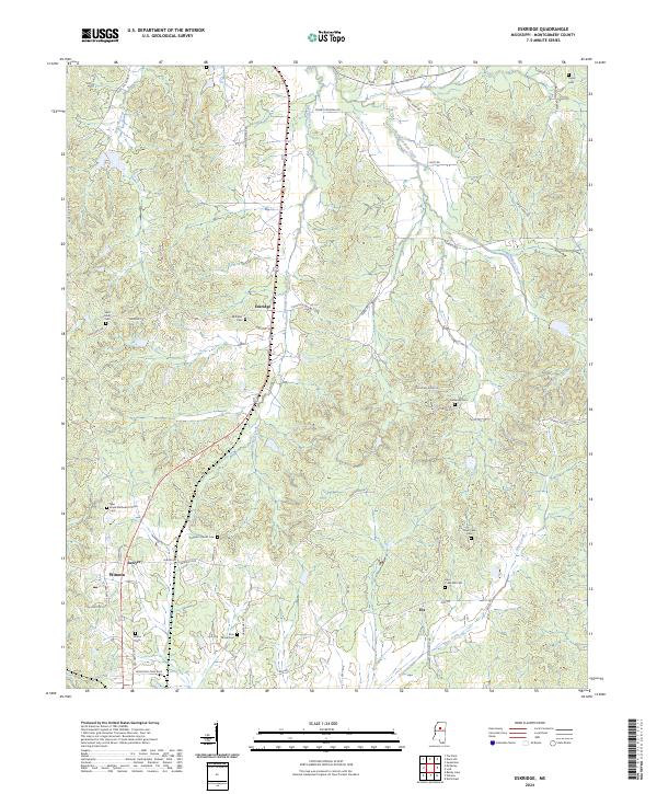
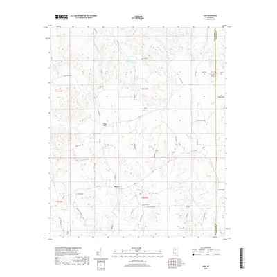
2024 Map of Eskridge
USGS Topo · Published 2024About this map
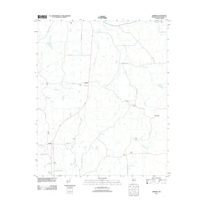
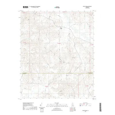
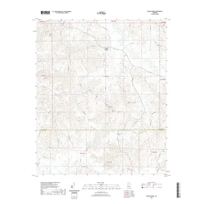
The small settlements of Eskridge, Sawyer, and Winona anchor this landscape in northern Mississippi, where the headwaters of Hays Creek and Eskridge Creek carve through the terrain. This rural corridor is defined by a deep network of family and community history, evidenced by the high density of small cemeteries such as Saint Johns Cem, Williams Cem, and the New Hope Methodist Church Cem near the western boundary.
Find a feature on this map
55 named features on this map. Tap any name to fly to it.
Don’t see what you’re looking for? This feature index may not catch every label — zoom into the map to look around manually.
Map Details
Editions of this 2024 Eskridge Map
This is the sole edition of this map. No revisions or reprints were ever made.
Historical Maps of Winona Through Time
18 maps found
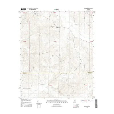
1966 Poplar Creek
Montgomery County, MS
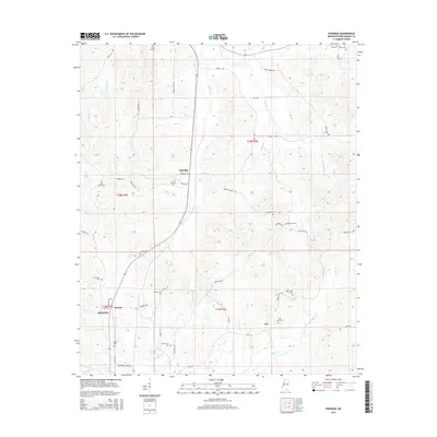
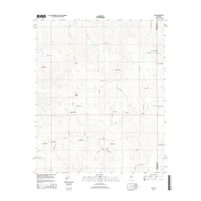
1983 Eskridge
Montgomery County, MS
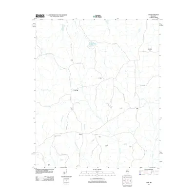
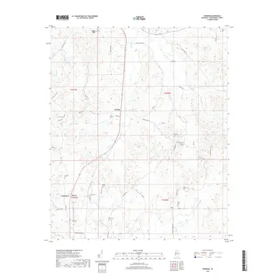
1983 Lodi
Montgomery County, MS
2012 Eskridge
Montgomery County, MS
2012 Lodi
Montgomery County, MS
2012 Poplar Creek
Montgomery County, MS
2015 Eskridge
Montgomery County, MS
2015 Lodi
Montgomery County, MS
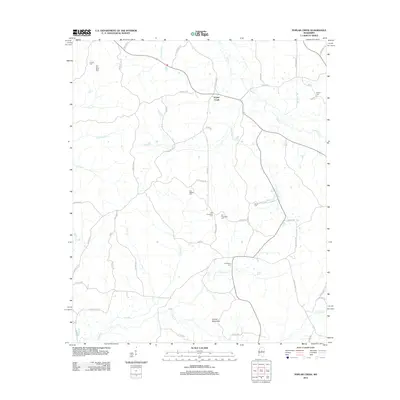
2015 Poplar Creek
Montgomery County, MS
2018 Eskridge
Montgomery County, MS
2018 Lodi
Montgomery County, MS
2018 Poplar Creek
Montgomery County, MS
2020 Eskridge
Montgomery County, MS
2020 Lodi
Montgomery County, MS
2020 Poplar Creek
Montgomery County, MS
2024 Eskridge
Montgomery County, MS
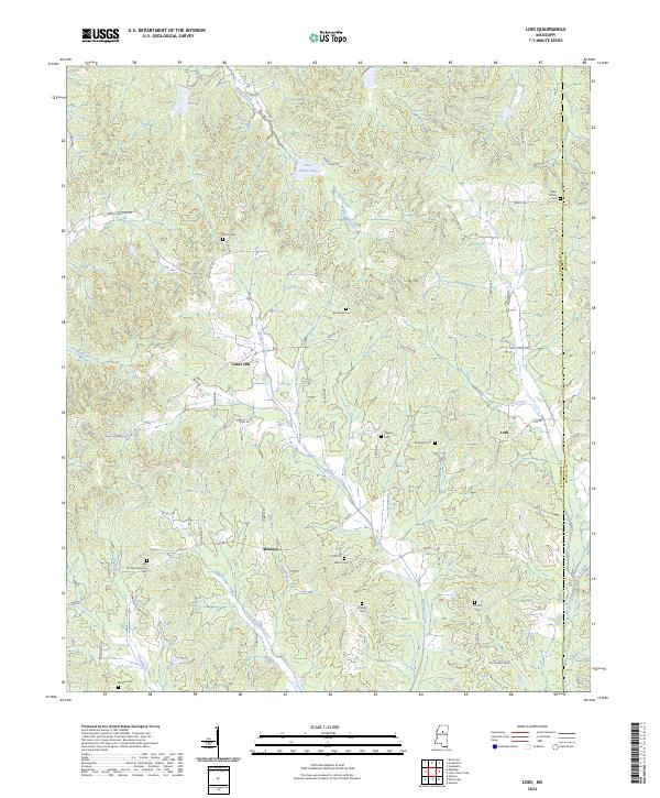
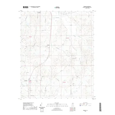
2024 Lodi
Montgomery County, MS
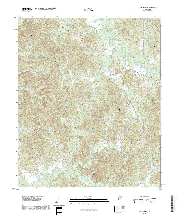
2024 Poplar Creek
Montgomery County, MS