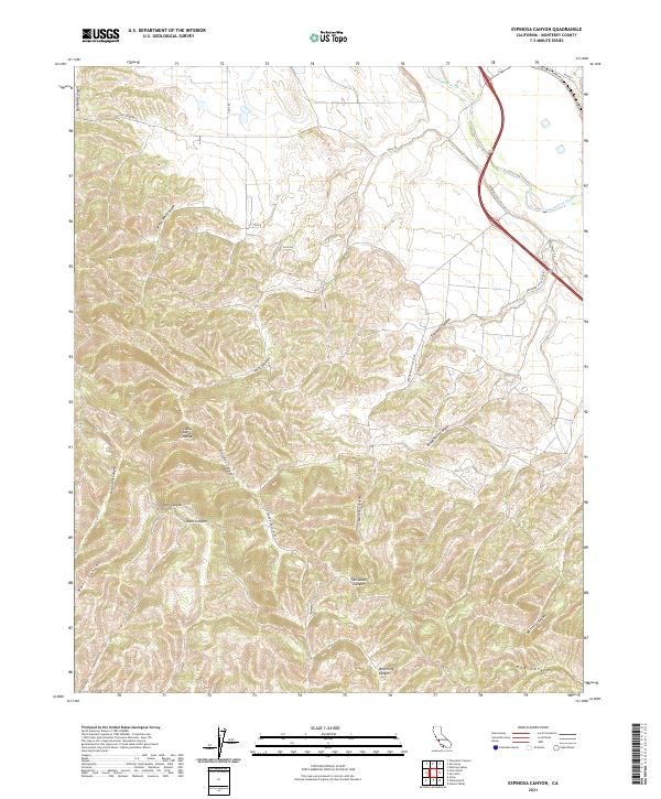
2021 Map of Espinosa Canyon
USGS Topo · Published 2021About this map
The Santa Lucia Range dominates the western portion of this 2021 study, characterized by a complex network of drainage systems including Robinson Canyon, Hall Canyon, and Davis Canyon. These deep incisions into the highland terrain eventually feed into the Salinas River valley to the northeast. The landscape transitions from these steep mountain flanks to the broader alluvial surfaces of the Salinas valley, where the transport corridor follows the river's path. Local road networks, such as Lockwood San Lucas Rd and San Ardo San Lucas Rd, navigate the winding topography of Espinosa Canyon and San Lucas Canyon. The map reveals a land defined by its geology, where named features like Seven Well Canyon and Quinado Canyon represent the rugged transition from the high peaks down to the vital watercourse of the Salinas.
Find a feature on this map
28 named features on this map. Tap any name to fly to it.
Don’t see what you’re looking for? This feature index may not catch every label — zoom into the map to look around manually.
Map Details
Editions of this 2021 Espinosa Canyon Map
This is the sole edition of this map. No revisions or reprints were ever made.
Other maps of this area

1912 · San Ardo
USGS Topo · 1:31,680

1915 · Priest Valley
USGS Topo · 1:125,000

1919 · King City
USGS Topo · 1:62,500

1919 · Bryson
USGS Topo · 1:62,500

1919 · Bradley
USGS Topo · 1:62,500

1939 · King City
USGS Topo · 1:62,500

1941 · San Ardo
USGS Topo · 1:62,500

1941 · Bradley
USGS Topo · 1:62,500

1941 · Bryson
USGS Topo · 1:62,500

1942 · Bryson
USGS Topo · 1:62,500