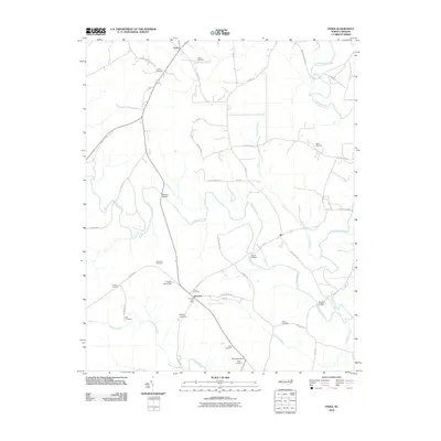
2010 Map of Essex
USGS Topo · Published 2010About this map
Essex and the surrounding rural landscape of Halifax County are defined by a dense network of watercourses and family landmarks. The settlement of Aventon serves as a local hub, featuring the Aventon Post Office and several water management features like Fraziers Pond Dam and Doziers Lake Dam. The terrain is deeply etched by Fishing Creek, Little Fishing Creek, and Powells Creek, which are navigated via historic crossings such as Rossers Bridge and Davis Bridge. Numerous family burial grounds, including Lynch Cemetery, Silver Cemetery, and Saunders Cemetery, are scattered across the map, providing significant points of interest for genealogical research in this North Carolina coastal plain region. The drainage patterns of Crooked Swamp and Gideon Swamp further characterize the low-lying, wooded environment that has shaped local road development and land use for generations.
Find a feature on this map
43 named features on this map. Tap any name to fly to it.
Don’t see what you’re looking for? This feature index may not catch every label — zoom into the map to look around manually.
Map Details
Editions of this 2010 Essex Map
This is the sole edition of this map. No revisions or reprints were ever made.
Other maps of this area

1953 · Norfolk
USGS Topo · 1:250,000

1953 · Greensboro
USGS Topo · 1:250,000

1954 · Greensboro
USGS Topo · 1:250,000

1962 · Greensboro
USGS Topo · 1:250,000

1963 · Ringwood
USGS Topo · 1:24,000

1963 · Red Oak
USGS Topo · 1:24,000

1963 · Essex
USGS Topo · 1:24,000

1963 · Drake
USGS Topo · 1:24,000

1966 · Greensboro
USGS Topo · 1:250,000

1971 · Inez
USGS Topo · 1:24,000