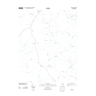
2013 Map of Essex
USGS Topo · Published 2013About this map
Essex and the surrounding Halifax County countryside are defined by a complex network of wetlands and creek crossings in this modern topographic study. The landscape is heavily influenced by the drainage patterns of Little Fishing Cr and Fishing Cr, which feed into extensive lowlands like White Oak Swamp, Crooked Swamp, and Gideon Swamp. These natural features have historically dictated the placement of local infrastructure, as seen in the prominent named crossings such as Rossers Bridge, Davis Bridge, and Battles Bridge that link rural outposts like Ita and Aventon.
Find a feature on this map
61 named features on this map. Tap any name to fly to it.
Don’t see what you’re looking for? This feature index may not catch every label — zoom into the map to look around manually.
Map Details
Editions of this 2013 Essex Map
This is the sole edition of this map. No revisions or reprints were ever made.
Other maps of this area

1953 · Norfolk
USGS Topo · 1:250,000

1953 · Greensboro
USGS Topo · 1:250,000

1954 · Greensboro
USGS Topo · 1:250,000

1962 · Greensboro
USGS Topo · 1:250,000

1963 · Ringwood
USGS Topo · 1:24,000

1963 · Red Oak
USGS Topo · 1:24,000

1963 · Essex
USGS Topo · 1:24,000

1963 · Drake
USGS Topo · 1:24,000

1966 · Greensboro
USGS Topo · 1:250,000

1971 · Inez
USGS Topo · 1:24,000