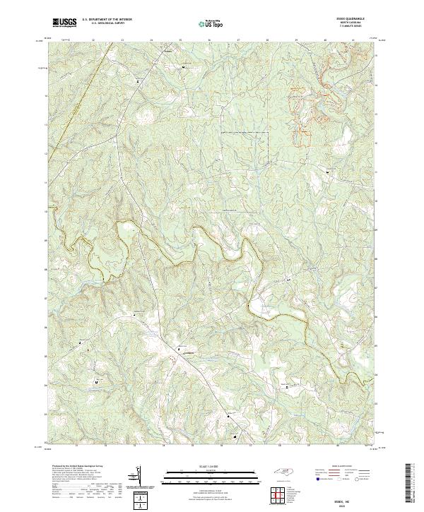
2022 Map of Essex
USGS Topo · Published 2022About this map
Aventon and Essex anchor the rural landscape of this region where the borders of Halifax, Nash, and Warren counties meet. The terrain is defined by an intricate network of wetlands and waterways, including the winding course of Fishing Creek and the low-lying reaches of White Oak Swamp, Crooked Swamp, and Gideon Swamp. These natural boundaries have long shaped local movement and settlement patterns, with roads like Aventon Gin Rd and Swift Creek School Rd suggesting a history tied to agricultural processing and community education.
Find a feature on this map
65 named features on this map. Tap any name to fly to it.
Don’t see what you’re looking for? This feature index may not catch every label — zoom into the map to look around manually.
Map Details
Editions of this 2022 Essex Map
This is the sole edition of this map. No revisions or reprints were ever made.
Other maps of this area

1953 · Norfolk
USGS Topo · 1:250,000

1953 · Greensboro
USGS Topo · 1:250,000

1954 · Greensboro
USGS Topo · 1:250,000

1962 · Greensboro
USGS Topo · 1:250,000

1963 · Ringwood
USGS Topo · 1:24,000

1963 · Red Oak
USGS Topo · 1:24,000

1963 · Essex
USGS Topo · 1:24,000

1963 · Drake
USGS Topo · 1:24,000

1966 · Greensboro
USGS Topo · 1:250,000

1971 · Inez
USGS Topo · 1:24,000