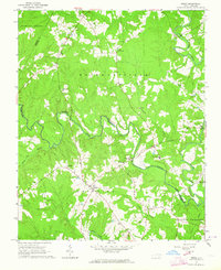
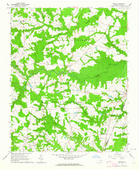
1963 Map of Essex
USGS Topo · Published 1964About this map
Fishing Creek winds through the rural landscape of Halifax and Nash Counties, forming a natural boundary for the civil townships of Brinkleyville and Griffins. This early 1960s survey documents a region defined by agricultural land and small-scale industrial sites, such as the Brickyards and a nearby Claypit north of Ita. The settlement pattern is anchored by family names and religious centers, including Walters Chapel and Pleasant Grove Ch.
Find a feature on this map
30 named features on this map. Tap any name to fly to it.
Don’t see what you’re looking for? This feature index may not catch every label — zoom into the map to look around manually.
Map Details
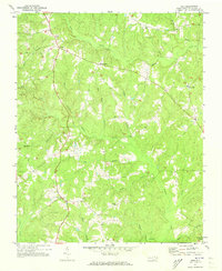
Editions of this 1963 Essex Map
2 editions found
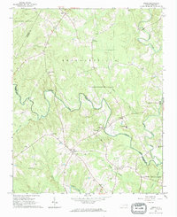
Other maps of this area

1953 · Norfolk
USGS Topo · 1:250,000

1953 · Greensboro
USGS Topo · 1:250,000

1954 · Greensboro
USGS Topo · 1:250,000

1962 · Greensboro
USGS Topo · 1:250,000
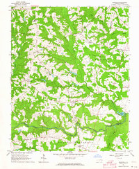
1963 · Ringwood
USGS Topo · 1:24,000
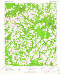
1963 · Red Oak
USGS Topo · 1:24,000
1963 · Essex
USGS Topo · 1:24,000
1963 · Drake
USGS Topo · 1:24,000

1966 · Greensboro
USGS Topo · 1:250,000
1971 · Inez
USGS Topo · 1:24,000