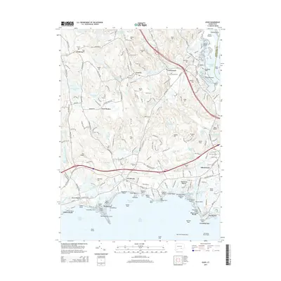
2015 Map of Essex
USGS Topo · Published 2015About this map
The tidal reaches of the Falls River and the shoreline of the Long Island Sound define this survey of the lower Connecticut River valley. Coastal settlements like Old Saybrook, Westbrook, and Clinton Beach are contrasted with inland villages such as Ivoryton and Winthrop, illustrating the area's development along both maritime and industrial corridors. The Valley RR tracks trace the river north past Essex, a historic shipbuilding center, toward Centerbrook.
Find a feature on this map
227 named features on this map. Tap any name to fly to it.
Don’t see what you’re looking for? This feature index may not catch every label — zoom into the map to look around manually.
Map Details
Editions of this 2015 Essex Map
This is the sole edition of this map. No revisions or reprints were ever made.
Other maps of this area

1893 · Guilford
USGS Topo · 1:62,500

1893 · Saybrook
USGS Topo · 1:62,500

1941 · Lyme
USGS Topo · 1:31,680

1944 · Essex
USGS Topo · 1:31,680

1944 · Deep River
USGS Topo · 1:31,680
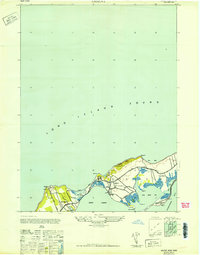
1947 · Orient
USGS Topo · 1:24,000

1947 · Hartford
USGS Topo · 1:250,000

1948 · Hartford
USGS Topo · 1:250,000
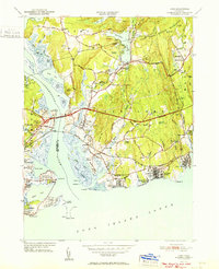
1951 · Lyme
USGS Topo · 1:31,680

1951 · Clinton
USGS Topo · 1:31,680