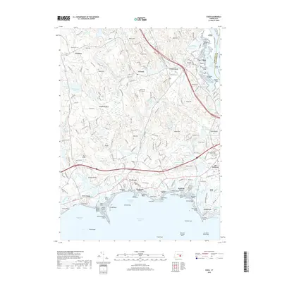
2018 Map of Essex
USGS Topo · Published 2018About this map
Essex Village and the historic landing points of the Connecticut River dominate this modern survey of the lower river valley. The landscape transitions from the dense maritime settlements of Old Saybrook and Westbrook on the Long Island Sound to the wooded hills and interior industrial villages of Ivoryton and Centerbrook. Waterways like the Patchogue River and Menunketesuck River define the shoreline, where Grove Beach and Saybrook Manor stand as established coastal communities. Genealogists will find a concentration of burial grounds including Riverview Cem and Winthrop Cem recorded alongside longstanding landmarks like Book Hill and Cheney Hill. The geography reveals a complex network of coastal islands and rocks, from Salt Island to Thatchbed Island, underscoring the area's enduring relationship with its tidal estuaries and seafaring past.
Find a feature on this map
215 named features on this map. Tap any name to fly to it.
Don’t see what you’re looking for? This feature index may not catch every label — zoom into the map to look around manually.
Map Details
Editions of this 2018 Essex Map
This is the sole edition of this map. No revisions or reprints were ever made.
Other maps of this area

1893 · Guilford
USGS Topo · 1:62,500

1893 · Saybrook
USGS Topo · 1:62,500

1941 · Lyme
USGS Topo · 1:31,680

1944 · Essex
USGS Topo · 1:31,680

1944 · Deep River
USGS Topo · 1:31,680
1947 · Orient
USGS Topo · 1:24,000

1947 · Hartford
USGS Topo · 1:250,000

1948 · Hartford
USGS Topo · 1:250,000
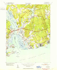
1951 · Lyme
USGS Topo · 1:31,680

1951 · Clinton
USGS Topo · 1:31,680