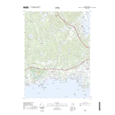
2023 Map of Essex
USGS Topo · Published 2023About this map
Essex Village and Deep River Center anchor this detailed 2023 survey of the Lower Connecticut River Valley, where the Connecticut River meets the sound. The map traces the intricate shoreline from Old Saybrook west to Clinton Beach, highlighting a dense network of coastal communities and summer colonies including Grove Beach and Saybrook Manor. Inland, the landscape transitions from tidal marshes to the wooded hills of Winthrop and Ivoryton.
Find a feature on this map
102 named features on this map. Tap any name to fly to it.
Don’t see what you’re looking for? This feature index may not catch every label — zoom into the map to look around manually.
Map Details
Editions of this 2023 Essex Map
This is the sole edition of this map. No revisions or reprints were ever made.
Other maps of this area

1893 · Guilford
USGS Topo · 1:62,500

1893 · Saybrook
USGS Topo · 1:62,500

1941 · Lyme
USGS Topo · 1:31,680

1944 · Essex
USGS Topo · 1:31,680

1944 · Deep River
USGS Topo · 1:31,680
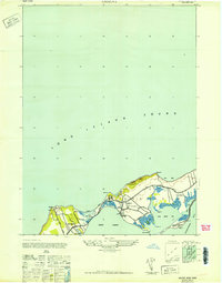
1947 · Orient
USGS Topo · 1:24,000

1947 · Hartford
USGS Topo · 1:250,000

1948 · Hartford
USGS Topo · 1:250,000
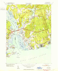
1951 · Lyme
USGS Topo · 1:31,680

1951 · Clinton
USGS Topo · 1:31,680