
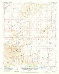
1956 Map of Essex
USGS Topo · Published 1958About this map
The settlement of Essex serves as a lone rail outpost in the high desert during the mid-1950s, situated along the A T & S F railroad line. This landscape in the Mojave is defined by its industrial isolation and the search for mineral wealth, with numerous operations like the Golden Fleece Mine, Enterprise Mine, and Copper King Mine dotting the slopes of the Clipper Mountains. The map reveals a reliance on vital water sources such as Honeymoon Spring and Sunflower Spring, which supported prospecting and transit through the Fenner Valley.
Find a feature on this map
33 named features on this map. Tap any name to fly to it.
Don’t see what you’re looking for? This feature index may not catch every label — zoom into the map to look around manually.
Map Details
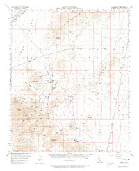
Editions of this 1956 Essex Map
3 editions found
Other maps of this area

1942 · Amboy
USGS Topo · 1:250,000

1943 · Center Hills
USGS Topo · 1:62,500

1943 · Amboy
USGS Topo · 1:250,000

1943 · Essex
USGS Topo · 1:62,500

1943 · Danby
USGS Topo · 1:62,500

1943 · Cadiz Lake
USGS Topo · 1:62,500

1943 · Fenner
USGS Topo · 1:62,500

1943 · Bannock
USGS Topo · 1:62,500

1943 · Turtle Mts.
USGS Topo · 1:62,500

1954 · Needles
USGS Topo · 1:250,000