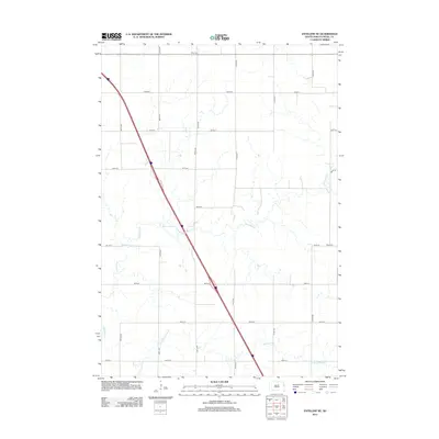
2012 Map of Estelline NE
USGS Topo · Published 2012About this map
Tabor Cem and Rose Cem sit within a landscape of Deuel County agricultural plots and precisely gridded rural roads. This 2012 survey by the U.S. Geological Survey captures the drainage patterns of eastern South Dakota, where the winding courses of Hidewood Cr and Bullhead Run cut through the geometric section lines. The township's infrastructure is defined by its numbered thoroughfares, including 470th Ave and 187th St, which provide access to isolated farmsteads and ancestral burial grounds. This map offers a clear record of land use and property boundaries in a region where the natural hydrology of prairie streams persists despite the rigid imposition of the Public Land Survey System.
Find a feature on this map
18 named features on this map. Tap any name to fly to it.
Don’t see what you’re looking for? This feature index may not catch every label — zoom into the map to look around manually.
Map Details
Editions of this 2012 Estelline NE Map
This is the sole edition of this map. No revisions or reprints were ever made.
Other maps of this area

1953 · Watertown
USGS Topo · 1:250,000

1958 · Watertown
USGS Topo · 1:250,000

1969 · Dempster
USGS Topo · 1:24,000

1970 · Kranzburg SW
USGS Topo · 1:24,000

1970 · Bemis
USGS Topo · 1:24,000

1970 · Clear Lake South
USGS Topo · 1:24,000

1970 · Estelline SE
USGS Topo · 1:24,000

1970 · Estelline
USGS Topo · 1:24,000

1970 · Estelline NE
USGS Topo · 1:24,000

1970 · Toronto
USGS Topo · 1:24,000