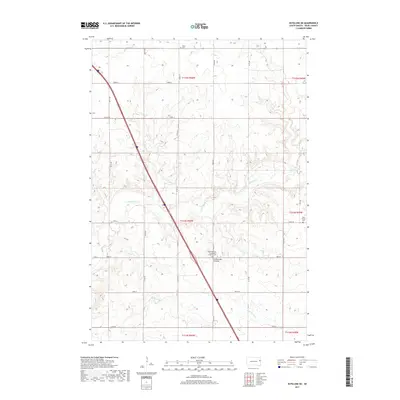
2017 Map of Estelline NE
USGS Topo · Published 2017About this map
Coteau des Prairies defines the rolling topography of this Deuel County landscape, where glacial deposits created the high plateau that divides major drainage basins. Small watercourses like Hidewood Cr and Bullhead Run wind through the township sections, tracing the natural contours of the land. The human imprint is most visible in the rural road grid, including Co Rd 313 and 471st Ave, and the preservation of local heritage in its cemeteries. The presence of the Hidewood Zion Evangelical Lutheran Cem, Tabor Cem, and the small Rose Family Cem reflects the deep-rooted immigrant and family farming traditions that settled this part of South Dakota. This map captures the intersection of high-prairie geology and the enduring township structure of the Great Plains.
Find a feature on this map
30 named features on this map. Tap any name to fly to it.
Don’t see what you’re looking for? This feature index may not catch every label — zoom into the map to look around manually.
Map Details
Editions of this 2017 Estelline NE Map
This is the sole edition of this map. No revisions or reprints were ever made.
Other maps of this area

1953 · Watertown
USGS Topo · 1:250,000

1958 · Watertown
USGS Topo · 1:250,000

1969 · Dempster
USGS Topo · 1:24,000

1970 · Kranzburg SW
USGS Topo · 1:24,000

1970 · Bemis
USGS Topo · 1:24,000

1970 · Clear Lake South
USGS Topo · 1:24,000

1970 · Estelline SE
USGS Topo · 1:24,000

1970 · Estelline
USGS Topo · 1:24,000

1970 · Estelline NE
USGS Topo · 1:24,000

1970 · Toronto
USGS Topo · 1:24,000