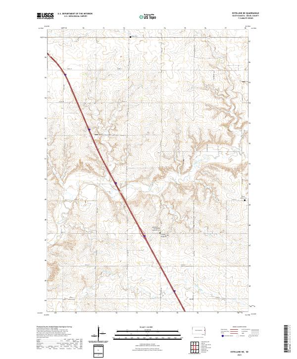
2021 Map of Estelline NE
USGS Topo · Published 2021About this map
Coteau des Prairies defines the rolling topography of this Deuel County landscape, where the high prairie gives way to the drainage systems of Hidewood Cr and Bullhead Run. This 2021 survey reveals a rural infrastructure built upon a rigid section line grid, with long-established cemeteries serving as primary historical markers. The presence of the Hidewood Zion Evangelical Lutheran Cem, alongside the Tabor Cem and the small Rose Family Cem, speaks to the enduring roots of the farming families who settled this portion of the eastern South Dakota plains. The map traces a modern transportation corridor cutting diagonally across the landscape, contrasting the historic township-and-range boundaries that have organized this agricultural region since the nineteenth century.
Find a feature on this map
21 named features on this map. Tap any name to fly to it.
Don’t see what you’re looking for? This feature index may not catch every label — zoom into the map to look around manually.
Map Details
Editions of this 2021 Estelline NE Map
This is the sole edition of this map. No revisions or reprints were ever made.
Other maps of this area

1953 · Watertown
USGS Topo · 1:250,000

1958 · Watertown
USGS Topo · 1:250,000

1969 · Dempster
USGS Topo · 1:24,000

1970 · Kranzburg SW
USGS Topo · 1:24,000

1970 · Bemis
USGS Topo · 1:24,000

1970 · Clear Lake South
USGS Topo · 1:24,000

1970 · Estelline SE
USGS Topo · 1:24,000

1970 · Estelline
USGS Topo · 1:24,000

1970 · Estelline NE
USGS Topo · 1:24,000

1970 · Toronto
USGS Topo · 1:24,000