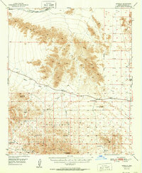
1951 Map of Estrella
USGS Topo · Published 1951About this map
The Maricopa Mountains dominate this arid landscape, serving as a backdrop for a post-war desert environment defined by isolated ranching and rail infrastructure. Along the northern edge, the Southern Pacific railroad corridor anchors the small settlement of Estrella, while the southern expanse is marked by the sprawling Papago Indian Chief Military Reservation. The terrain is punctuated by significant desert landmarks like Javelina Mountain, Maricopa Peak, and the uniquely named Squaw Tits.
Find a feature on this map
25 named features on this map. Tap any name to fly to it.
Don’t see what you’re looking for? This feature index may not catch every label — zoom into the map to look around manually.
Map Details
Editions of this 1951 Estrella Map
This is the sole edition of this map. No revisions or reprints were ever made.
Other maps of this area
1913 · Maricopa
USGS Topo · 1:62,500
1915 · Maricopa
USGS Topo · 1:62,500
1941 · Vekol Mountains
USGS Topo · 1:62,500
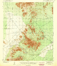
1942 · Vekol Mountains
USGS Topo · 1:62,500
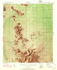
1946 · Antelope Peak
USGS Topo · 1:62,500
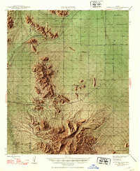
1948 · Antelope Peak
USGS Topo · 1:62,500
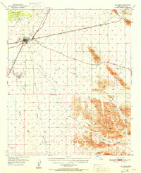
1951 · Gila Bend
USGS Topo · 1:62,500
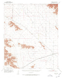
1951 · Mobile
USGS Topo · 1:62,500
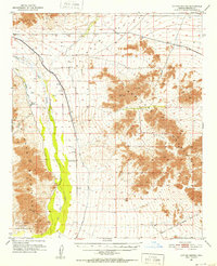
1951 · Cotton Center
USGS Topo · 1:62,500
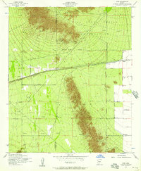
1952 · Enid
USGS Topo · 1:24,000