Loading...
Loading map...2022 Map of Ethridge
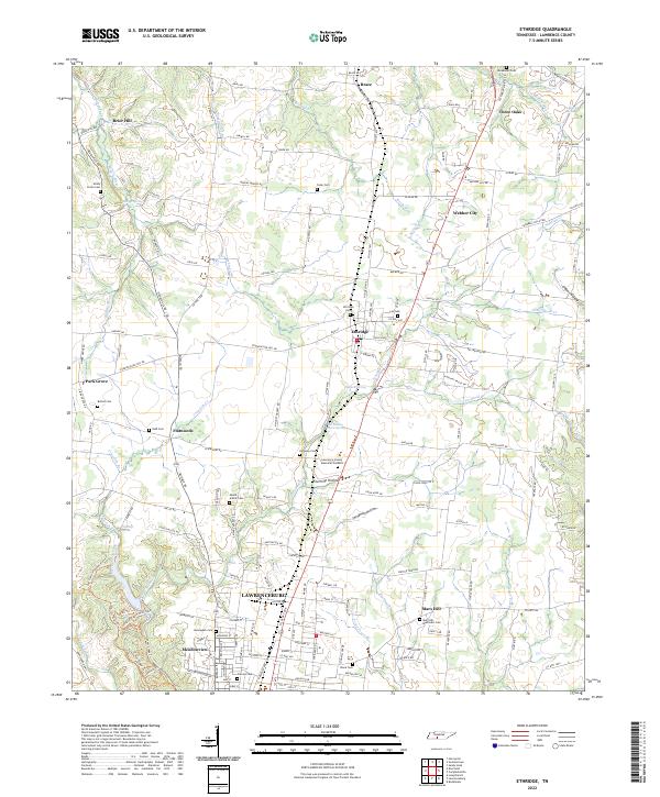
USGS Topo · Published 2022About this map
Ethridge and the northern outskirts of Lawrenceburg dominate this central Lawrence County landscape, where the plateau begins its descent into well-defined drainage basins like Fourmile Hollow and Threemile Hollow. The area is densely patterned with small family and community burial grounds, reflecting generations of local settlement; researchers will find the Norwegian Cem, Mount Ararat Cem, and the Shady Grove Cem preserved among the rolling hills.
Find a feature on this map
177 named features on this map. Tap any name to fly to it.
Don’t see what you’re looking for? This feature index may not catch every label — zoom into the map to look around manually.
Map Details
Date Portrayed2022
Date Published2022
PublisherU.S. Geological Survey
Map TypeTopographic
Scale1:24000
Physical Dimensions24 x 29 inches
Editions of this 2022 Ethridge Map
This is the sole edition of this map. No revisions or reprints were ever made.
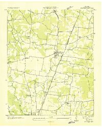
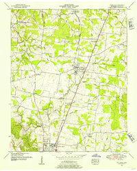
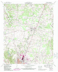
Historical Maps of Three Oaks Through Time
4 maps found
Featured Locations
Source Details
SourceU.S. Geological Survey
CopyrightPublic Domain