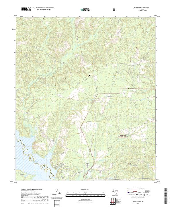
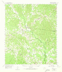
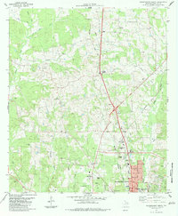
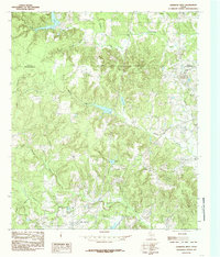
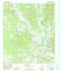
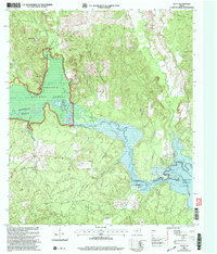
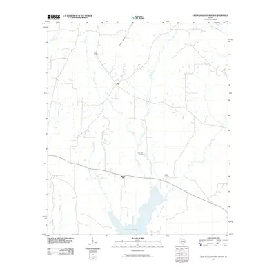
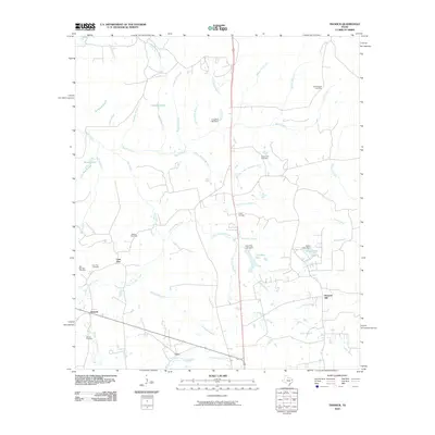
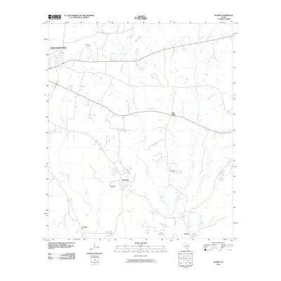
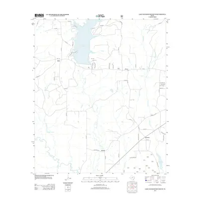
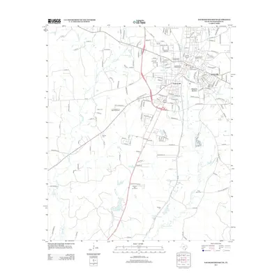
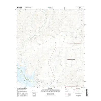
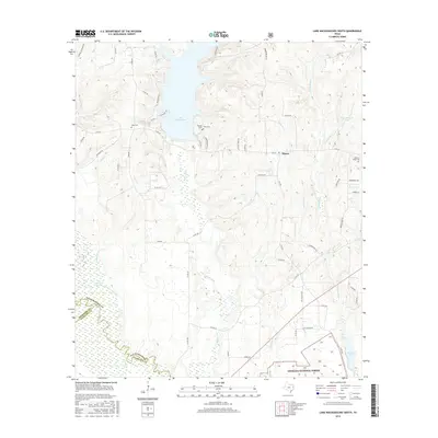
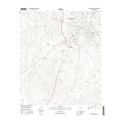
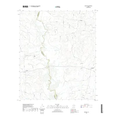
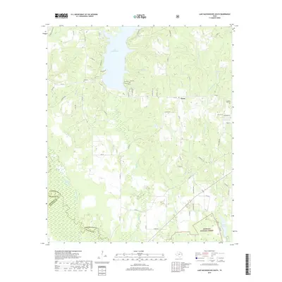
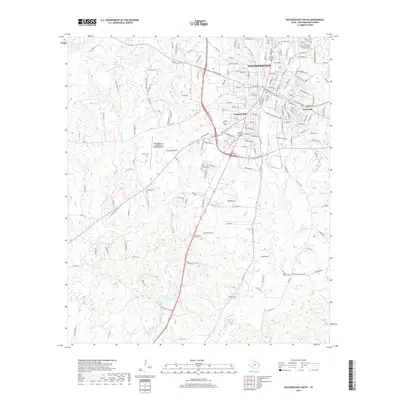
2022 Map of Etoile North
USGS Topo · Published 2022About this map
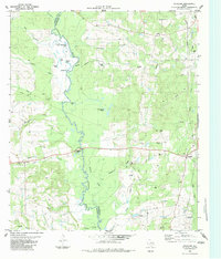
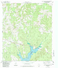
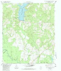
Etoile sits at the heart of this landscape where the high ground of the Angelina National Forest meets the northern reaches of the Sam Rayburn Reservoir. The terrain is defined by a dense network of drainages including Lavaca Cr, Martin Cr, and Lagrouille Cr, which feed toward the Angelina River bottomlands. The presence of Big Island and water features like Marion Slough and Walker Slough illustrate the complex hydrology of the reservoir's upper margins.
Find a feature on this map
46 named features on this map. Tap any name to fly to it.
Don’t see what you’re looking for? This feature index may not catch every label — zoom into the map to look around manually.
Map Details
Editions of this 2022 Etoile North Map
This is the sole edition of this map. No revisions or reprints were ever made.
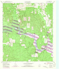
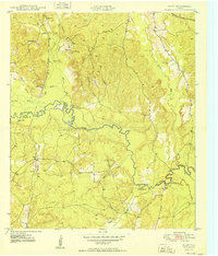
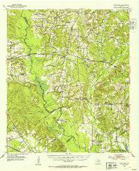
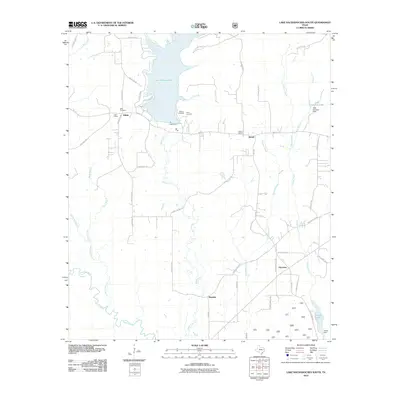
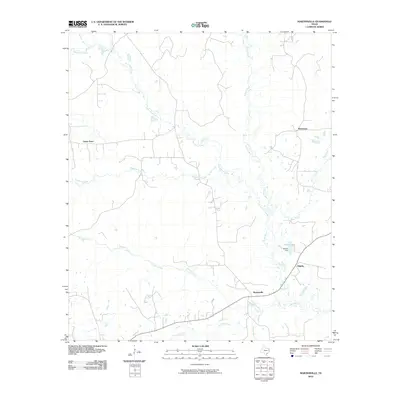
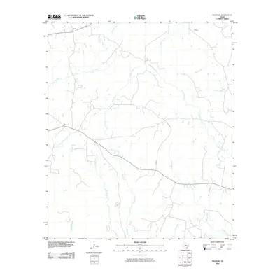
Historical Maps of La Cerda Through Time
76 maps found
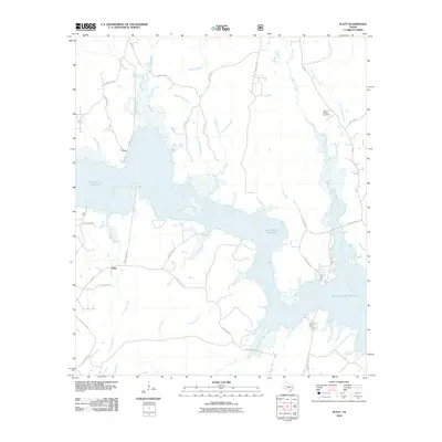
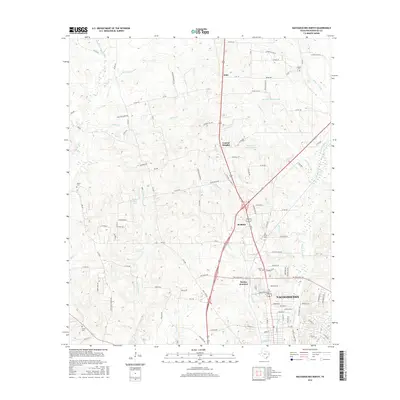
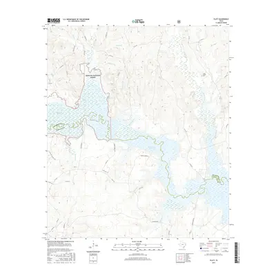
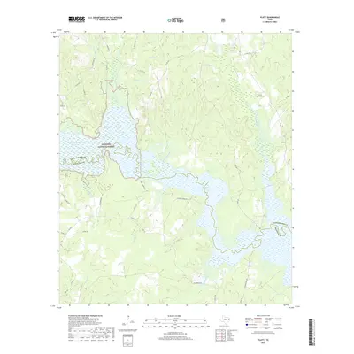
1949 Platt
Nacogdoches County, TX
1950 Platt
Nacogdoches County, TX
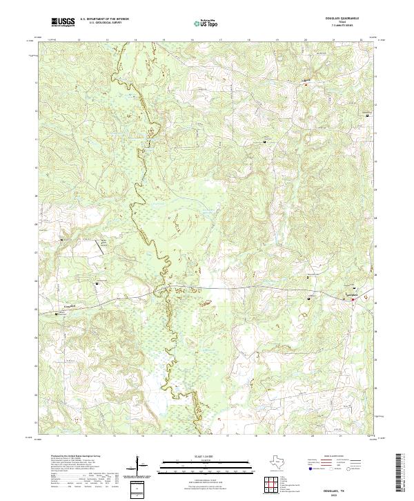
1952 Douglass
Nacogdoches County, TX
1958 Martinsville
Nacogdoches County, TX
1983 Douglass
Nacogdoches County, TX
1983 Lake Nacogdoches North
Nacogdoches County, TX
1983 Lake Nacogdoches South
Nacogdoches County, TX
1983 Nacogdoches North
Nacogdoches County, TX
1983 Nacogdoches South
Nacogdoches County, TX
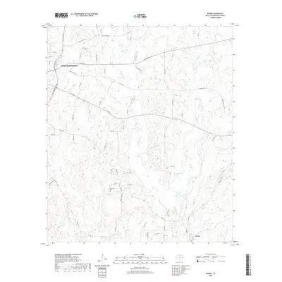
1983 Woden
Nacogdoches County, TX
1984 Etoile North
Nacogdoches County, TX
1984 Garrison West
Nacogdoches County, TX
1984 Martinsville
Nacogdoches County, TX
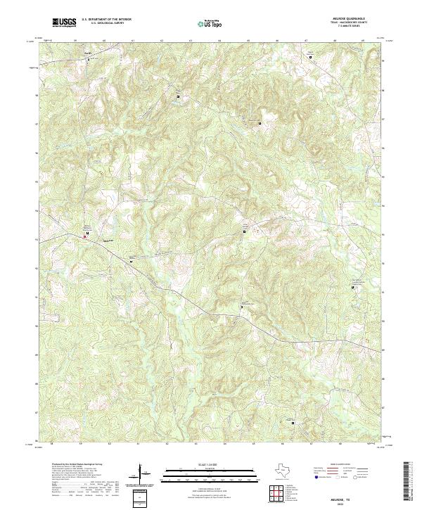
1984 Melrose
Nacogdoches County, TX
1984 Trawick
Nacogdoches County, TX
2003 Platt
Nacogdoches County, TX
2010 Douglass
Nacogdoches County, TX
2010 Etoile North
Nacogdoches County, TX
2010 Garrison West
Nacogdoches County, TX
2010 Lake Nacogdoches North
Nacogdoches County, TX
2010 Lake Nacogdoches South
Nacogdoches County, TX
2010 Martinsville
Nacogdoches County, TX
2010 Melrose
Nacogdoches County, TX
2010 Nacogdoches North
Nacogdoches County, TX
2010 Nacogdoches South
Nacogdoches County, TX
2010 Platt
Nacogdoches County, TX
2010 Trawick
Nacogdoches County, TX
2010 Woden
Nacogdoches County, TX
2013 Douglass
Nacogdoches County, TX
2013 Etoile North
Nacogdoches County, TX
2013 Garrison West
Nacogdoches County, TX

2013 Lake Nacogdoches North
Nacogdoches County, TX
2013 Lake Nacogdoches South
Nacogdoches County, TX
2013 Martinsville
Nacogdoches County, TX
2013 Melrose
Nacogdoches County, TX
2013 Nacogdoches North
Nacogdoches County, TX
2013 Nacogdoches South
Nacogdoches County, TX
2013 Platt
Nacogdoches County, TX
2013 Trawick
Nacogdoches County, TX
2013 Woden
Nacogdoches County, TX
2016 Douglass
Nacogdoches County, TX
2016 Etoile North
Nacogdoches County, TX
2016 Garrison West
Nacogdoches County, TX
2016 Lake Nacogdoches North
Nacogdoches County, TX
2016 Lake Nacogdoches South
Nacogdoches County, TX
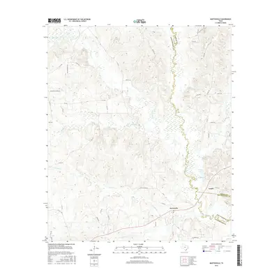
2016 Martinsville
Nacogdoches County, TX
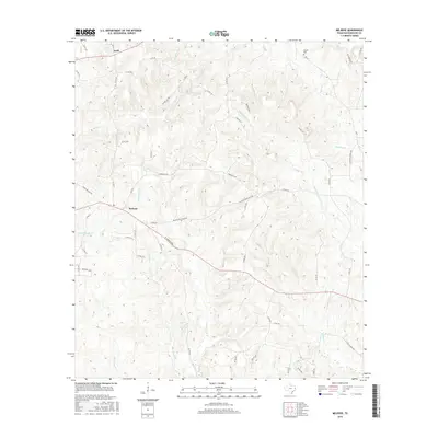
2016 Melrose
Nacogdoches County, TX
2016 Nacogdoches North
Nacogdoches County, TX
2016 Nacogdoches South
Nacogdoches County, TX
2016 Platt
Nacogdoches County, TX
2016 Trawick
Nacogdoches County, TX
2016 Woden
Nacogdoches County, TX
2019 Douglass
Nacogdoches County, TX
2019 Etoile North
Nacogdoches County, TX
2019 Garrison West
Nacogdoches County, TX
2019 Lake Nacogdoches North
Nacogdoches County, TX
2019 Lake Nacogdoches South
Nacogdoches County, TX
2019 Martinsville
Nacogdoches County, TX
2019 Melrose
Nacogdoches County, TX
2019 Nacogdoches North
Nacogdoches County, TX
2019 Nacogdoches South
Nacogdoches County, TX
2019 Platt
Nacogdoches County, TX

2019 Trawick
Nacogdoches County, TX
2019 Woden
Nacogdoches County, TX
2022 Douglass
Nacogdoches County, TX
2022 Etoile North
Nacogdoches County, TX
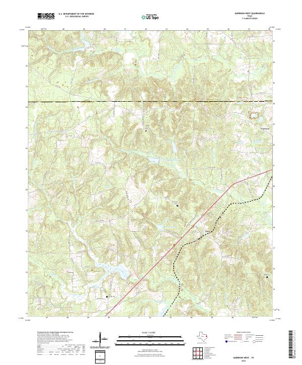
2022 Garrison West
Nacogdoches County, TX
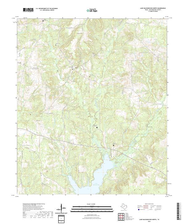
2022 Lake Nacogdoches North
Nacogdoches County, TX
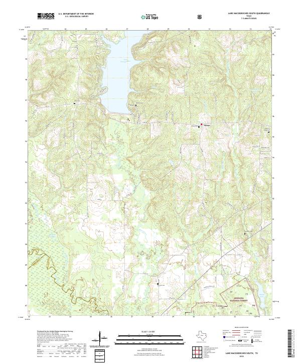
2022 Lake Nacogdoches South
Nacogdoches County, TX
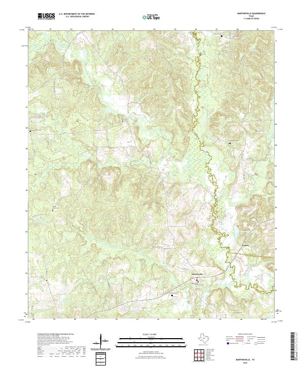
2022 Martinsville
Nacogdoches County, TX
2022 Melrose
Nacogdoches County, TX
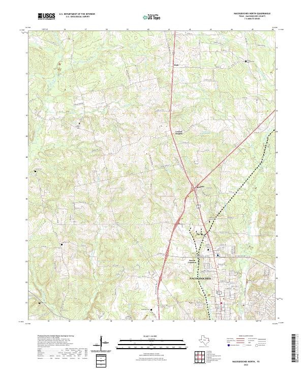
2022 Nacogdoches North
Nacogdoches County, TX
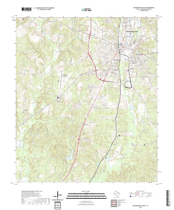
2022 Nacogdoches South
Nacogdoches County, TX
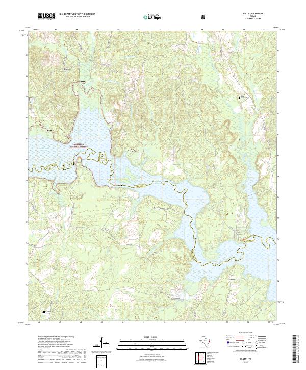
2022 Platt
Nacogdoches County, TX
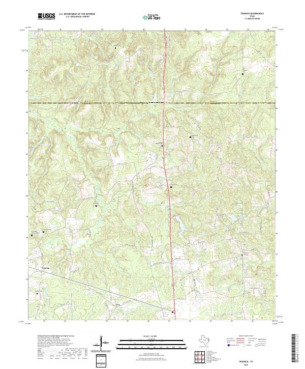
2022 Trawick
Nacogdoches County, TX
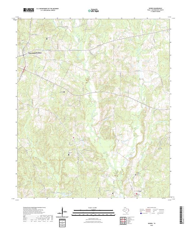
2022 Woden
Nacogdoches County, TX